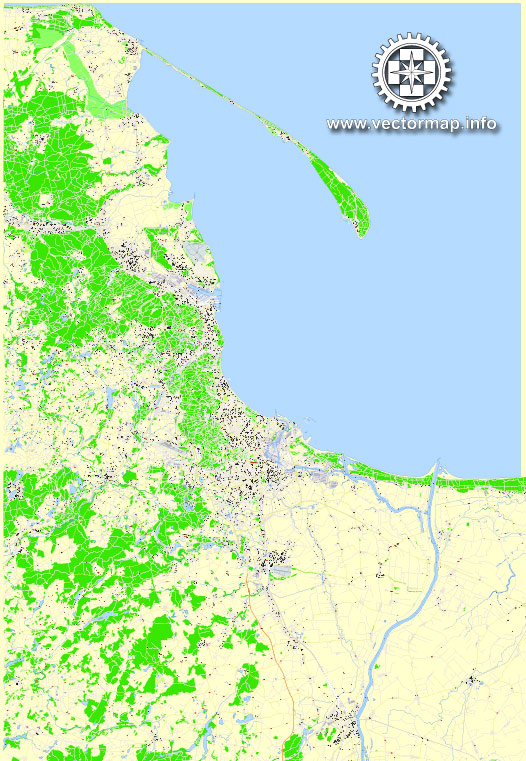
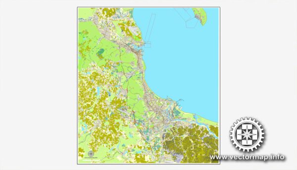
Gdańsk, Gdynia, and Sopot are three cities located in the northern part of Poland, forming a metropolitan area known as the Tricity (Trójmiasto in Polish). The principal transportation system in this region includes various modes of transportation, such as:
- Public Transportation:
- Trams: Gdańsk has an extensive tram network, and trams are a common mode of transport within the city.
- Buses: Public buses connect Gdańsk, Gdynia, and Sopot, providing an efficient means of transportation between the three cities and the surrounding areas.
- Rail Transport:
- Railway Connection: Gdańsk, Gdynia, and Sopot are well-connected by a railway network. The main railway station in Gdańsk is Gdańsk Główny, while Gdynia has Gdynia Główna. Sopot also has its own railway station. The rail network facilitates easy travel between the cities and other parts of Poland.
- Ferry Services:
- Water Transport: The Tricity is situated on the Baltic Sea, and ferry services operate, connecting the cities and providing an alternative mode of transportation, especially during the summer months.
- Road Transport:
- Highways and Roads: The cities are connected by well-maintained roads, including the A1 motorway, which links Gdańsk and Gdynia. Local roads and highways provide convenient access within each city and to neighboring regions.
- Airport:
- Lech Wałęsa Airport: Located in Gdańsk, Lech Wałęsa Airport serves as the primary international airport for the Tricity area. It facilitates air travel to and from various destinations, enhancing connectivity for both domestic and international travelers.
- Bicycle Infrastructure:
- Cycling Paths: The Tricity has been working on improving bicycle infrastructure, including dedicated cycling paths. Biking is a popular and environmentally friendly mode of transport, especially in the warmer months.
- Car Rental and Taxis:
- Car Rental Services: Car rental agencies operate in the Tricity, allowing visitors and residents to rent vehicles for personal use.
- Taxis: Taxis are readily available and offer a convenient door-to-door transportation option.
It’s essential to check for any updates or changes in the transportation system, as infrastructure and services may evolve over time. Local transportation authorities and websites can provide the most current information on schedules, routes, and services.


 Author: Kirill Shrayber, Ph.D. FRGS