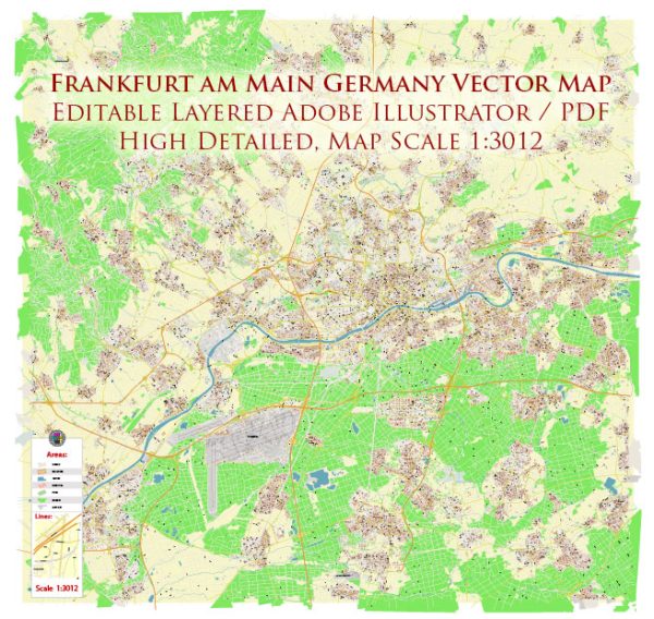
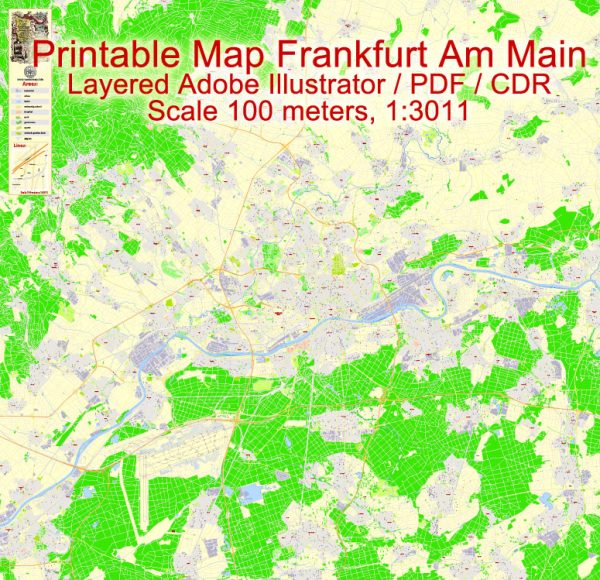
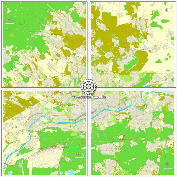
Frankfurt, Germany, is a city with a well-planned road network that includes a mix of historic and modern streets. Here are some principal streets and roads in Frankfurt:
- Frankfurter Allee:
- Located in the city center, Frankfurter Allee is a major street lined with shops, restaurants, and businesses.
- It connects important landmarks such as Hauptwache and Konstablerwache.
- Kaiserstraße:
- This street is one of the main thoroughfares in Frankfurt, running from the Hauptbahnhof (Main Train Station) to the financial district.
- Kaiserstraße is known for its shops, hotels, and proximity to the business district.
- Zeil:
- Zeil is Frankfurt’s main shopping street, bustling with department stores, boutiques, and eateries.
- It is a pedestrian zone and one of the most popular shopping destinations in the city.
- Roßmarkt:
- Roßmarkt is a central square surrounded by historic buildings and is often used for events and markets.
- It connects to Zeil and other key streets in the city center.
- Freßgass (Grosse Bockenheimer Strasse):
- Known as the “culinary mile,” Freßgass is a street lined with cafes, restaurants, and gourmet shops.
- It’s a popular area for dining and socializing.
- Theodor-Heuss-Allee:
- This wide boulevard runs along the River Main and is known for its modern architecture and green spaces.
- Theodor-Heuss-Allee is often used for events and parades.
- Hanauer Landstraße:
- Located in the eastern part of the city, Hanauer Landstraße is a major road with a mix of residential and commercial areas.
- It connects the city center to the eastern suburbs.
- Kennedyallee:
- Situated in the district of Sachsenhausen, Kennedyallee is a tree-lined avenue with parks and upscale residential areas.
- It runs along the south bank of the River Main.
- Autobahn Ring:
- The Autobahn ring around Frankfurt (Autobahn A5 and A3) facilitates efficient traffic flow and connects the city to the national and international highway network.
- Miquelallee:
- Miquelallee is a boulevard in the Westend district with stately homes, parks, and cultural institutions.
- It connects the Bockenheim district to the Palmengarten botanical garden.
These streets and roads contribute to Frankfurt’s dynamic urban landscape, providing residents and visitors with access to shopping, dining, cultural attractions, and efficient transportation throughout the city.


 Author: Kirill Shrayber, Ph.D. FRGS