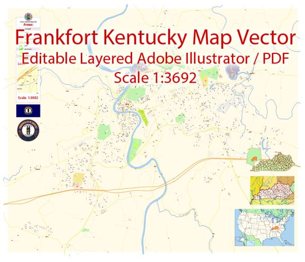
The capital city of the U.S. state of Kentucky. Here is a description of the principal transportation system in and around Frankfort:
Transportation in Frankfort, Kentucky:
1. Roads and Highways:
- Interstate Highways: Frankfort is accessible via Interstate 64 and Interstate 75.
- State Highways: Several state highways connect Frankfort to other parts of Kentucky.
2. Public Transit:
- Transit Services: Frankfort Transit provides public transportation services within the city.
3. Airports:
- Capital City Airport: Although it doesn’t have commercial air service, Capital City Airport serves general aviation needs.
4. Rail:
- Rail Lines: Frankfort has rail connections, primarily for freight transportation.
5. River Transportation:
- Kentucky River: The Kentucky River flows near Frankfort, but it’s not a major transportation route for goods or passengers.
6. Bicycle and Pedestrian Infrastructure:
- Trails and Paths: The city has been working on developing bike lanes and pedestrian-friendly paths.
7. Car Transportation:
- Taxis and Rideshare: Taxis and rideshare services operate in Frankfort.
8. Intermodal Connectivity:
- Intermodal Facilities: Frankfort is connected to regional and national transportation networks through various modes of transportation.
9. Logistics and Freight:
- Freight Movement: Freight transportation is facilitated by road and rail networks.
10. Planned Developments:
- Transportation Planning: The city may have ongoing or planned transportation projects to improve infrastructure and mobility.
It’s important to note that the transportation system in any city is subject to changes and developments, so it’s advisable to check with local authorities or transportation agencies for the most up-to-date information.


 Author: Kirill Shrayber, Ph.D. FRGS