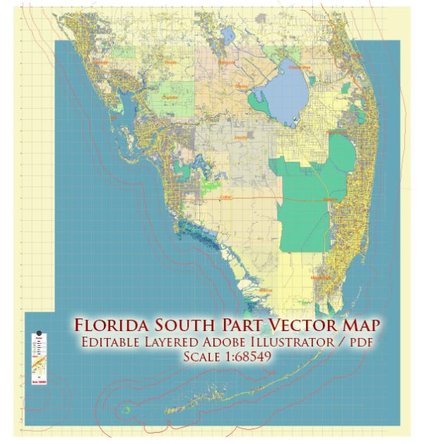
The southern part of Florida has an extensive network of streets and roads that connect various cities and communities. Here are some principal streets and roads in the southern part of Florida:
- Interstate 95 (I-95): A major north-south interstate highway that runs along the eastern coast of Florida, connecting cities such as Miami, Fort Lauderdale, West Palm Beach, and beyond.
- Florida’s Turnpike: A toll road that runs north-south through the state, providing a major transportation route. It connects Miami to Orlando and continues northward.
- U.S. Route 1 (US-1): A historic north-south highway that parallels the east coast, passing through cities like Miami, Key Largo, and Key West.
- Tamiami Trail (U.S. Route 41): A highway that crosses the Florida Peninsula from Tampa on the west coast to Miami on the east coast, cutting through the Everglades.
- State Road A1A (SR A1A): A scenic highway that runs along the Atlantic Ocean, passing through coastal communities such as Miami Beach, Fort Lauderdale, and Palm Beach.
- Palmetto Expressway (State Road 826): A major highway in Miami-Dade County, connecting the western and northern suburbs of Miami.
- ** Dolphin Expressway (State Road 836):** A toll highway connecting downtown Miami with the western suburbs and the Miami International Airport.
- Sawgrass Expressway (State Road 869): A toll road that provides a bypass route around the congested urban areas of Fort Lauderdale and connects with the Florida’s Turnpike.
- Alligator Alley (I-75): A section of Interstate 75 that cuts across the Everglades, connecting the east and west coasts of Florida.
- Venetian Causeway: A series of bridges and causeways connecting the city of Miami with Miami Beach.
- Rickenbacker Causeway: Connects Miami to Key Biscayne and provides access to the popular Crandon Park and Bill Baggs Cape Florida State Park.
These are just a few examples, and there are many more local streets, avenues, and boulevards that make up the road network in the southern part of Florida. The region’s layout is characterized by a mix of urban areas, coastal roads, and highways that facilitate transportation and connectivity throughout the region.


 Author: Kirill Shrayber, Ph.D. FRGS