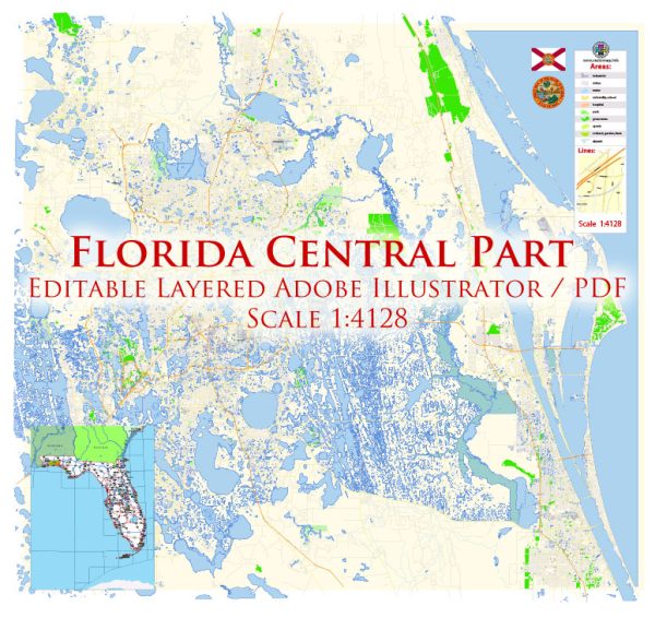
Central Florida, including the city of Orlando, has a well-developed transportation system to support the region’s growing population and tourism industry. Here is an overview of the principal transportation systems in Central Florida and Orlando:
- Roads and Highways:
- Interstate Highways: Central Florida is intersected by several major interstate highways, including I-4 (connecting Tampa and Daytona Beach) and I-95 (running along the east coast).
- Florida’s Turnpike: This toll road runs north-south and connects Central Florida with South Florida.
- Public Transportation:
- LYNX: The Central Florida Regional Transportation Authority operates LYNX, which is the public bus system serving the Orlando metropolitan area and surrounding regions.
- SunRail: This commuter rail system connects Volusia County to Osceola County, passing through downtown Orlando. SunRail provides an alternative to car commuting for residents and visitors.
- Airports:
- Orlando International Airport (MCO): One of the busiest airports in the United States, MCO serves as the primary gateway for air travel to and from Central Florida.
- Rail Transportation:
- Amtrak: Amtrak provides passenger rail service in Central Florida with stops in cities such as Orlando. The services include the Silver Star and Silver Meteor routes.
- Biking and Walking:
- Efforts have been made to enhance pedestrian and cycling infrastructure, with bike lanes, trails, and walkable areas in some neighborhoods and recreational areas.
- Rideshare and Taxis:
- Services like Uber and Lyft operate in the region, offering convenient transportation options within the city and surrounding areas.
- Port Canaveral:
- While not directly in Orlando, Port Canaveral, located on Florida’s east coast, serves as a major cruise and cargo port. It is a significant transportation hub for the region.
It’s important to note that Central Florida’s transportation infrastructure is subject to ongoing developments and improvements. Local authorities regularly invest in projects to alleviate traffic congestion, enhance public transportation, and accommodate the region’s growth. For the most up-to-date information, it’s recommended to check with local transportation authorities and official sources.


 Author: Kirill Shrayber, Ph.D. FRGS