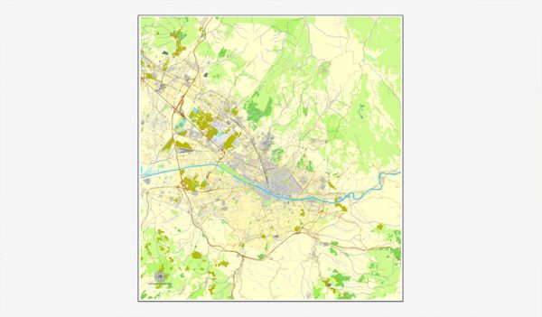
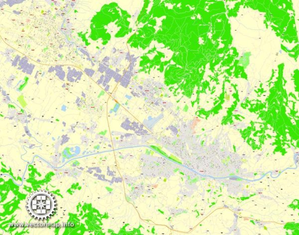
Florence, Italy, has a well-connected transportation system that facilitates easy movement within the city and access to surrounding areas. Here is an overview of the principal transportation systems in Florence:
- Public Transportation:
- Bus System: Florence has an extensive network of buses operated by ATAF, the local public transportation company. Buses cover various routes within the city and connect suburban areas. The central bus station is located near the main train station, Santa Maria Novella.
- Tram System: Florence has a limited tram system that connects the city center with the surrounding suburbs. The tram lines are especially useful for reaching areas not easily accessible by bus.
- Taxis: Taxis are available throughout the city and can be found at designated taxi stands or hailed on the street. They are a convenient option for getting around, especially late at night or in areas not served well by public transportation.
- Rail Transportation:
- Santa Maria Novella Train Station: This is the main railway station in Florence and a major transportation hub. It connects Florence to other major cities in Italy and Europe, making it easy to explore nearby regions or take day trips.
- Cycling:
- Florence is a bike-friendly city with a growing network of dedicated bike lanes. Many locals and tourists use bicycles to explore the city, and there are bike rental services available for visitors.
- Walking:
- The historic center of Florence is compact and pedestrian-friendly, making it easy to explore on foot. Many of the major attractions, such as the Duomo, Uffizi Gallery, and Ponte Vecchio, are within walking distance of each other.
- Car Rentals:
- While driving within the historic center can be challenging due to restricted traffic zones, renting a car can be useful for exploring the surrounding countryside and smaller towns. There are several car rental agencies in the city.
- Airport Transportation:
- Florence is served by the Florence Airport, Peretola (FLR), located about 4 kilometers from the city center. There are shuttle buses that connect the airport to the central train station, providing a convenient link between air travel and other forms of transportation.
- River Transportation:
- The Arno River runs through Florence, and while it is not a primary mode of transportation, there are boat tours and water taxis that provide a unique perspective of the city.
Overall, Florence offers a diverse range of transportation options, allowing residents and visitors to navigate the city and its surroundings efficiently. The combination of public transportation, walking, and cycling makes it easy to explore the rich history and culture that Florence has to offer.


 Author: Kirill Shrayber, Ph.D. FRGS