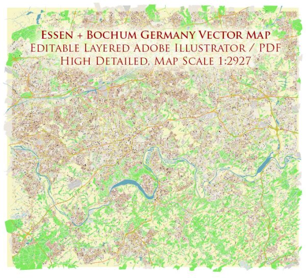
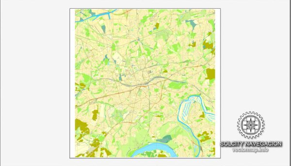
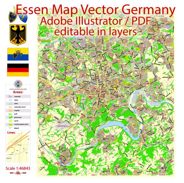
Essen is a city located in the Ruhr area of North Rhine-Westphalia, Germany. It has a well-developed road network with several principal streets and roads that facilitate transportation within the city and connect it to other parts of the region. Some general information about Essen’s road infrastructure, here are some of the principal streets and roads in Essen:
- A40 (Ruhrschnellweg): The A40 is a major Autobahn that passes through Essen. It is an east-west highway that connects Duisburg to the west and Dortmund to the east.
- B224 (Essener Straße): This federal highway runs through Essen and connects the city to other nearby towns and cities. It is an important route for local and regional traffic.
- Bismarckstraße: This is a significant street in Essen, known for its shops, restaurants, and cultural attractions. It runs through the city center and is a popular destination for both locals and visitors.
- Huttropstraße: Another important street in Essen, Huttropstraße passes through various neighborhoods and serves as a local thoroughfare.
- Berliner Platz: While not a traditional road, Berliner Platz is a large square in the city center that serves as a hub for public transportation. It’s a central point with access to buses and trams.
- Kettwiger Straße: This street is known for its shopping and dining options and is located in the city center. It’s a lively area with a mix of commercial and residential properties.
- Kennedyplatz: Similar to Berliner Platz, Kennedyplatz is a square in the city center with connections to public transportation. It is often used for events and gatherings.
- Alfredstraße: Another notable street in Essen, Alfredstraße is known for its shops, cafes, and cultural venues.
Remember that Essen’s road network extends beyond these examples, and the city has a comprehensive system of streets and roads connecting various neighborhoods and districts. If you need specific and up-to-date information, it’s advisable to consult local maps, navigation systems, or the city’s official transportation resources.

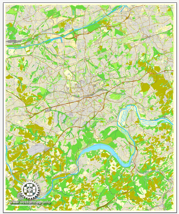
 Author: Kirill Shrayber, Ph.D. FRGS