Edmonton, Canada, has a diverse and well-planned transportation system to cater to the needs of its residents and visitors. Here is a general description of the principal transportation systems in Edmonton:
- Road Transportation:
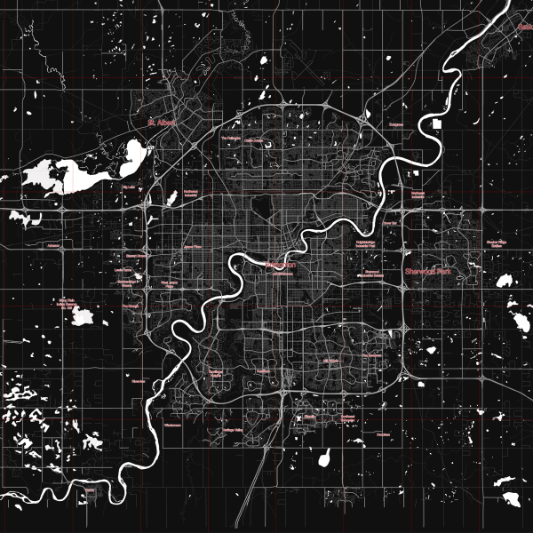
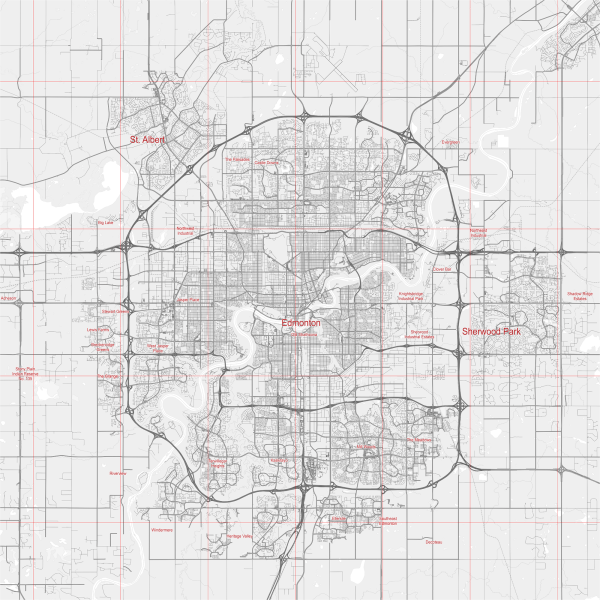
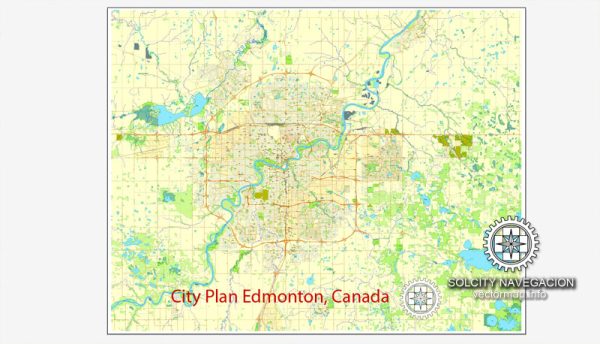
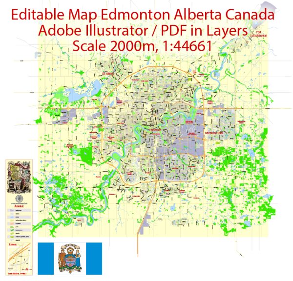
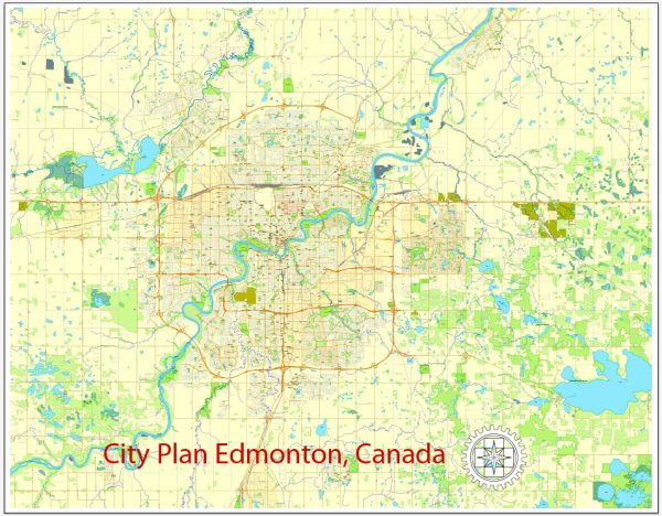
- Road Network: Edmonton has an extensive road network, including major highways and arterial roads. Anthony Henday Drive is a significant ring road encircling the city, providing connectivity to different parts of the region.
- Public Transit: Edmonton Transit Service (ETS) operates an extensive bus network, connecting various neighborhoods and suburbs. The city also has a Bus Rapid Transit (BRT) system called the Metro Line, providing faster transit options.
- Light Rail Transit (LRT):
- Edmonton has a well-developed LRT system known as the Edmonton LRT. The system includes two lines: the Capital Line and the Metro Line. The LRT serves key areas of the city, providing an efficient means of public transportation.
- Cycling Infrastructure:
- Edmonton has been working on expanding its cycling infrastructure, including dedicated bike lanes and paths. The city aims to promote cycling as a sustainable and healthy mode of transportation.
- Air Transportation:
- Edmonton International Airport (YEG) is the primary airport serving the region. It is located south of the city and offers domestic and international flights.
- Rail Transportation:
- The city is a major hub for freight rail transportation. Via Rail, the national passenger rail service, also provides passenger rail connections.
- Pedestrian Infrastructure:
- Edmonton has been investing in pedestrian-friendly infrastructure, including sidewalks and pedestrian zones in certain areas. The downtown core has undergone development to make it more walkable.
- Park and Ride Facilities:
- The city provides Park and Ride facilities, allowing commuters to park their vehicles and use public transit, particularly the LRT, for the remainder of their journey.
- Smart Transportation Initiatives:
- Edmonton has been incorporating smart technologies into its transportation system, including real-time tracking of buses and LRT, electronic fare systems, and traffic management systems.
It’s recommended to check with local authorities or official sources for the most up-to-date information on Edmonton’s transportation system, as developments and improvements may have occurred since my last update.

 Author: Kirill Shrayber, Ph.D. FRGS