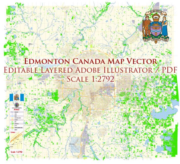
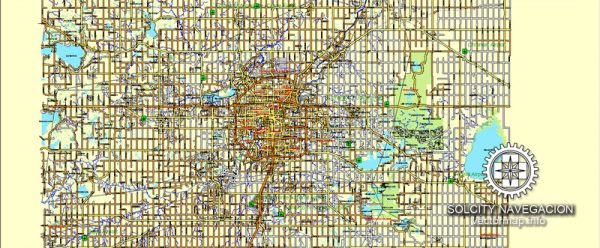
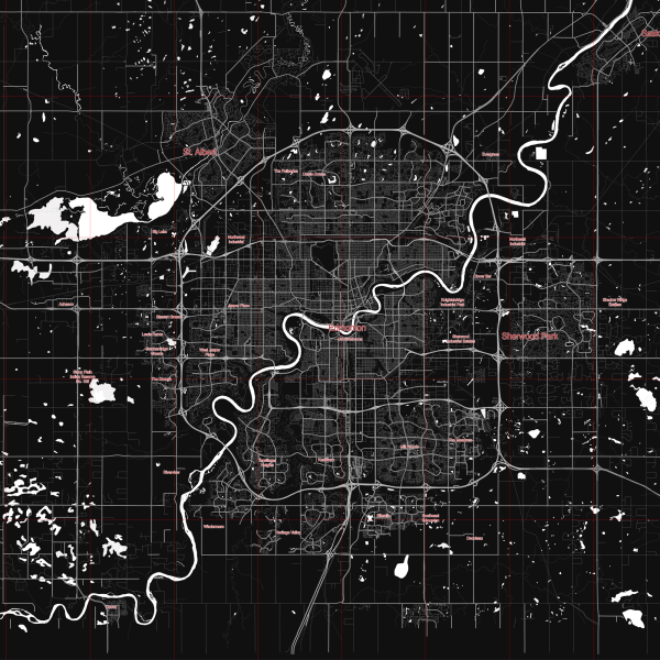
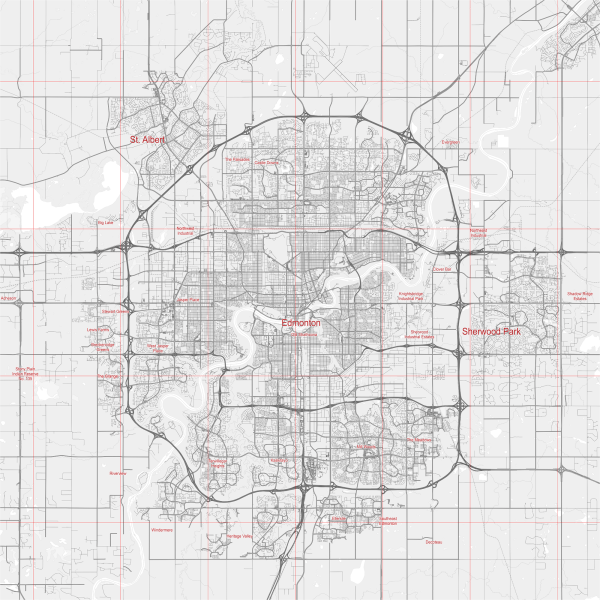
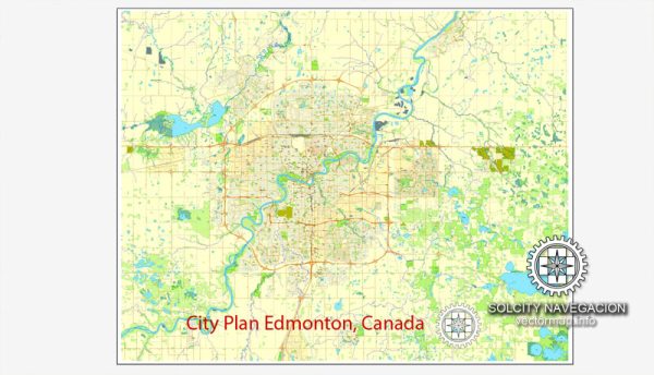
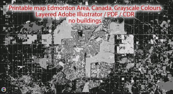
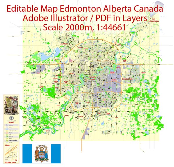
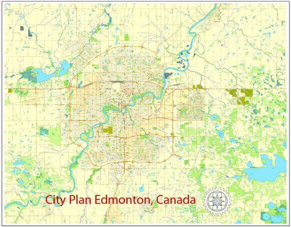
Edmonton, located in the province of Alberta, Canada, is a city with a grid-based street system. The city is divided into four quadrants: Northwest (NW), Northeast (NE), Southwest (SW), and Southeast (SE). The principal streets in Edmonton are typically organized in a numerical and alphabetical grid, making navigation relatively straightforward. Here’s a brief description of some key streets in Edmonton:
- Jasper Avenue: This is one of the main east-west thoroughfares in downtown Edmonton. It is known for its shops, restaurants, and offices, and it runs parallel to the North Saskatchewan River.
- Whyte Avenue (82 Avenue): Located in the Old Strathcona district, Whyte Avenue is a vibrant and popular street known for its eclectic mix of shops, boutiques, restaurants, and nightlife.
- 104 Street and 104 Avenue: In downtown Edmonton, these streets are part of the warehouse district and have undergone revitalization with trendy shops, cafes, and loft-style residences.
- Stony Plain Road: Running through various neighborhoods, Stony Plain Road is a major commercial corridor with shopping centers, businesses, and a mix of residential areas.
- Calgary Trail (Gateway Boulevard): A significant north-south route that connects the southern part of the city to the downtown area, passing through various neighborhoods and commercial districts.
- Yellowhead Trail (Highway 16): A major east-west freeway that runs through the northern part of the city, connecting Edmonton to the neighboring cities and provinces.
- Groat Road: Running north-south, Groat Road provides access to the University of Alberta and the river valley. It offers scenic views of the North Saskatchewan River.
- Wayne Gretzky Drive (formerly Capilano Drive): This north-south route on the eastern side of the city is named after the hockey legend and provides access to the Northlands area.
- 137 Avenue: A major east-west corridor in the northern part of the city, passing through various residential and commercial areas.
- Anthony Henday Drive: A ring road encircling the city, providing a route for through traffic and connecting various neighborhoods. It is divided into sections, and completion of the entire ring road is ongoing.
These streets are just a few examples, and Edmonton has a comprehensive grid system with many other streets and avenues. The city’s layout makes it relatively easy to navigate, with numbered streets running north-south and avenues running east-west.

 Author: Kirill Shrayber, Ph.D. FRGS