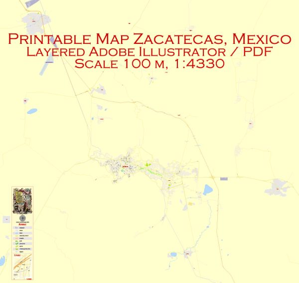
Vector Maps of the Zacatecas : state in north-central Mexico, northwest of Mexico City. It contains La Quemada archaeological site, a large pre-Columbian settlement with a museum, hilltop pyramid and columns. The state’s high-altitude capital, also called Zacatecas, is home to the Mina El Edén, an old silver mine with an underground train that passes unique rock formations, displays of mineral deposits and antique mining machinery.
Area: 77,684 km²
Download royalty free, editable vector maps of Zacatecas Mexico in high resolution digital PDF and Adobe Illustrator format.
Mapa editable — Zacatecas Mexico
Un mapa editable limpio de Zacatecas Mexico con capas nombradas y geometría coherente para cartografía rápida. El archivo acepta cuadrículas, leyendas y llamadas sin redibujar la base. Las etiquetas de barrios se organizan para evitar colisiones en zonas densas. Las capas con nombre permiten recolorear, ajustar grosores y clases de etiquetas sin limpieza. Puentes y túneles se aíslan para que las rutas sigan legibles tras el recolor. Las capas separan arterias y calles locales, distritos, hidrografía, parques y puntos de interés.
Útil para guías, infografías urbanas, presentaciones de inversión y comunicación municipal. Funciona como base para wayfinding, esquemas de transporte y maquetación editorial. Los archivos permanecen compactos gracias a la geometría limpia. Mantiene etiquetas legibles y permite personalizar rutas y acentos. El mapa se integra con flujos DTP y GIS habituales.


 Author: Kirill Shrayber, Ph.D. FRGS