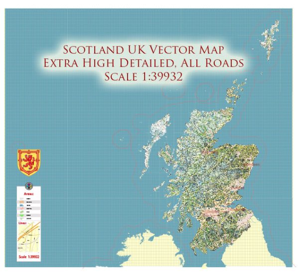
A general overview of railroads and air transportation in the United Kingdom, Great Britain, and Ireland.
United Kingdom (UK) and Great Britain:
- Rail Transportation:
- The UK has an extensive and well-developed railway network that connects major cities and towns across the country.
- The National Rail network is the principal operator of passenger and freight train services.
- High-speed rail services, such as the Intercity Express Programme (IEP) and High-Speed 2 (HS2), aim to improve travel times between key cities.
- London has an extensive suburban rail network known as the London Overground, connecting various parts of the city and its suburbs.
- Air Transportation:
- The United Kingdom is served by several major international airports, including London Heathrow, London Gatwick, London Stansted, and Manchester Airport.
- Regional airports, such as Birmingham Airport, Edinburgh Airport, and Glasgow Airport, play a crucial role in connecting different parts of the country.
- British Airways is the flag carrier airline, and there are several other domestic and low-cost carriers providing both domestic and international flights.
Ireland:
- Rail Transportation:
- Ireland has a national rail network operated by Iarnród Éireann, serving both the Republic of Ireland and Northern Ireland.
- The Dublin Area Rapid Transit (DART) system operates in the Dublin metropolitan area, providing suburban rail services.
- Air Transportation:
- Ireland is served by several international airports, with Dublin Airport being the largest and busiest.
- Other major airports include Cork Airport, Shannon Airport, and Belfast International Airport.
- Aer Lingus is the national flag carrier of Ireland, providing both domestic and international flights.
For the most up-to-date and specific information, it’s recommended to check with the relevant transportation authorities or official websites of the rail and air operators in the UK, Great Britain, and Ireland.


 Author: Kirill Shrayber, Ph.D. FRGS