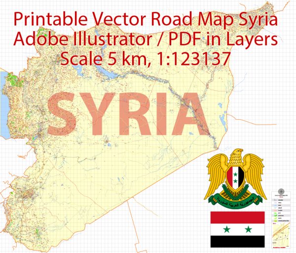
A general overview of Syria’s railroads and air transportation. Please note that the situation in Syria may have changed since then, and it’s advisable to check more recent and reliable sources for the latest information.
Railroads in Syria:
Syria has a limited and relatively underdeveloped railway network. The country’s rail system is operated by the Syrian Railways (Chemins de Fer Syriens), and it plays a modest role in the transportation infrastructure. The railway network primarily connects major cities and industrial areas. Key railway lines include those running between Damascus, Aleppo, Homs, and Latakia.
The ongoing conflict in Syria has likely impacted rail transportation infrastructure, and the state of the railways may have changed due to the hostilities.
Air Transportation in Syria:
Airports:
- Damascus International Airport (DAM): Located near the capital city, Damascus International Airport is the main international gateway to Syria.
- Aleppo International Airport (ALP): Aleppo, one of the largest cities in Syria, has an international airport.
- Latakia International Airport (LTK): Latakia, a port city on the Mediterranean, also has an international airport.
Airlines: Syria has its national carrier, Syrian Arab Airlines (SyrianAir), which operates both domestic and international flights. However, the conflict and international sanctions may have affected the airline’s operations.
Impact of Conflict: The Syrian Civil War, which began in 2011, has had a significant impact on transportation infrastructure, including airports and air travel. Some airports have experienced damage or closure due to the conflict, and flight operations have been disrupted.
It’s important to note that the situation in Syria is complex and fluid, with conditions changing rapidly. For the latest and most accurate information on Syria’s railroads and air transportation, I recommend checking with official sources or recent news updates. Keep in mind that the availability and accuracy of information might be challenging due to the ongoing situation in the country.


 Author: Kirill Shrayber, Ph.D. FRGS