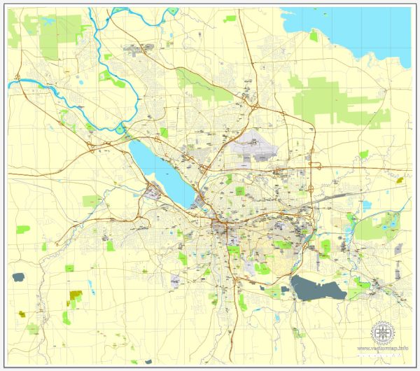
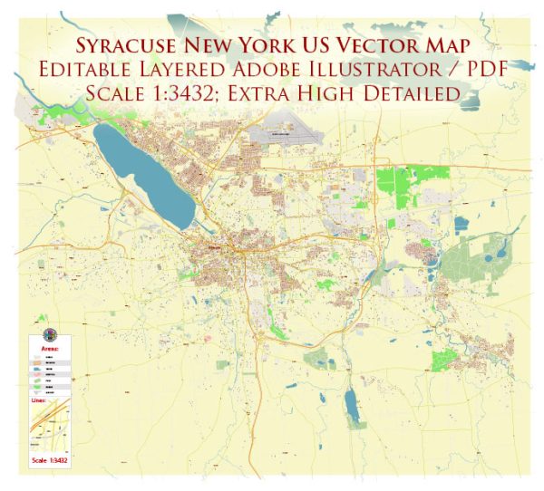
A general overview of Syracuse, New York’s railroads and air transportation infrastructure.
Railroads: Syracuse has historically been a significant transportation hub, especially in terms of railroads. The city is served by major freight railroads, facilitating the transportation of goods across the region. Additionally, Syracuse is a stop on the Amtrak network, providing passenger rail service.
The Syracuse Amtrak station, located in the historic New York Central Railroad station, offers connections to various destinations, including major cities like New York City and Buffalo. Amtrak’s services, such as the Empire Service and Lake Shore Limited, connect Syracuse to a broader rail network.
Air Transportation: Syracuse Hancock International Airport (SYR) serves as the primary airport for the region. The airport is located about 5 miles northeast of downtown Syracuse. It offers domestic flights to various destinations, connecting passengers to major cities across the United States.
As a mid-sized airport, Syracuse Hancock International provides facilities and services typical of such airports, including car rentals, dining options, and transportation services. Airlines operating at the airport include major carriers offering both passenger and cargo services.
The airport plays a crucial role in serving the air travel needs of Syracuse and the surrounding communities, providing convenient access to air transportation for both business and leisure travelers.
For the most accurate and up-to-date information on railroads and air transportation in Syracuse, including any recent developments or changes, it is recommended to check with official sources, such as the Syracuse Hancock International Airport and relevant railroad authorities.


 Author: Kirill Shrayber, Ph.D. FRGS