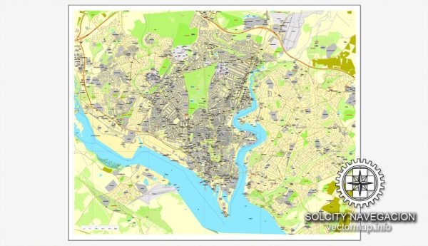
A general overview of Southampton’s maritime and air transportation.
Maritime Transportation:
Port of Southampton:
- Significance: Southampton is a major port city and plays a crucial role in the maritime industry.
- Container Terminals: The port has container terminals, handling a significant volume of containerized cargo.
- Cruise Terminal: Southampton is a key departure point for cruise ships, serving as a major cruise port in the United Kingdom.
- Automobile Handling: The port facilitates the import and export of vehicles, with dedicated terminals for automobile handling.
Air Transportation:
Southampton Airport:
- Location: Southampton Airport is located approximately 4 miles northeast of the city center.
- Passenger Traffic: It serves as a regional airport with both domestic and international flights.
- Airlines: Various airlines operate from Southampton Airport, connecting the city to destinations across Europe and the UK.
- Facilities: The airport provides standard facilities, including check-in services, lounges, and retail outlets.
Southampton Maritime and Air Connectivity:
- Transportation Hub: Southampton’s combined maritime and air facilities make it a crucial transportation hub.
- Cruise and Fly: The “Cruise and Fly” concept is popular, where travelers can seamlessly transition between cruise vacations and air travel through Southampton.
Recent Developments:
- Port Expansions: Southampton has undergone expansions and developments to accommodate growing maritime traffic.
- Air Terminal Upgrades: Upgrades and renovations to the airport facilities may have taken place to enhance passenger experience.
For the latest and most accurate information, especially regarding recent developments, it is recommended to check with local authorities, port authorities, and the official websites of Southampton Port and Southampton Airport.


 Author: Kirill Shrayber, Ph.D. FRGS