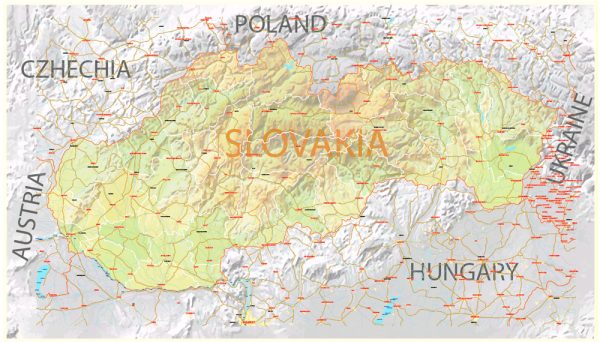
A general overview of water and air transportation in Slovakia.
Water Transportation:
Danube River:
Slovakia is landlocked, and its water transportation primarily revolves around the Danube River, one of the major rivers in Europe. The Danube flows through the southern part of Slovakia, providing a vital waterway for transportation and trade. The ports along the Danube, such as Bratislava, are important hubs for cargo shipping.
Inland Waterways:
In addition to the Danube, Slovakia has other smaller rivers and waterways. However, these are generally not extensively used for commercial shipping but might play a role in local transport.
Air Transportation:
Airports:
Slovakia has several international and domestic airports that facilitate air transportation. The main international airport is:
- M. R. Štefánik Airport (BTS): Located in the capital city, Bratislava, it serves as the primary international gateway.
Airlines:
Several airlines operate in Slovakia, providing both domestic and international flights. Some of the prominent carriers include:
- Slovak Airlines: The national flag carrier, providing both domestic and international flights.
- Low-cost Carriers: Budget airlines also operate in Slovakia, connecting the country with various European destinations.
General Aviation:
General aviation plays a role in connecting smaller towns and regions. There are smaller airports and airstrips across the country catering to private and regional flights.
Recent Developments:
Slovakia, like many countries, may have experienced changes or developments in its transportation infrastructure and services after my last update. It’s advisable to check more recent sources for the latest information on water and air transportation in Slovakia. Government initiatives, new infrastructure projects, or changes in airline services may have occurred since then.


 Author: Kirill Shrayber, Ph.D. FRGS