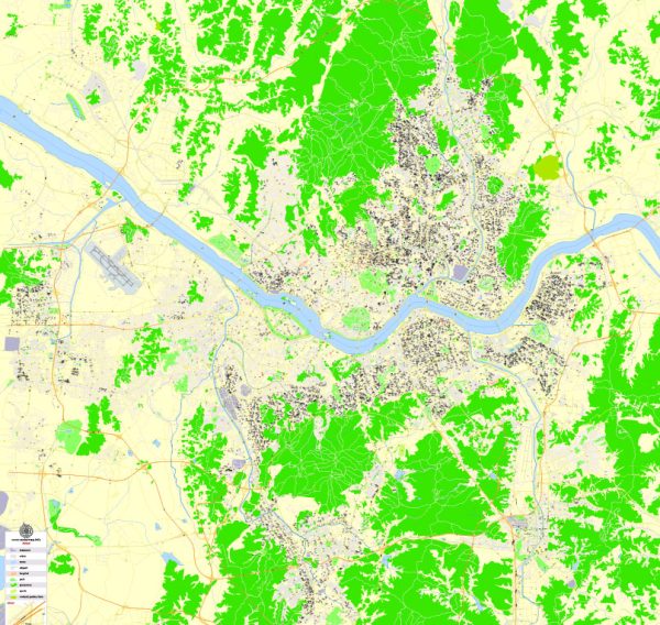
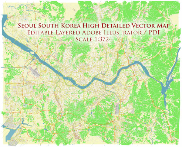
Seoul, South Korea, is a bustling metropolis with a well-developed transportation infrastructure, including water and air transportation.
Water Transportation:
- Han River Ferries:
- The Han River flows through Seoul, and there are various ferry services that offer scenic cruises along the river.
- Some ferries provide transportation between different points along the river, offering a unique perspective of the cityscape.
- Banpo Hangang Park Floating Islands:
- Located on the Han River, Banpo Hangang Park features floating islands that can be accessed by ferry. These islands host various recreational activities and cultural events.
Air Transportation:
- Incheon International Airport (ICN):
- Incheon International Airport is the primary international gateway to Seoul and South Korea.
- It is one of the busiest airports in the world and serves as a major hub for international flights.
- Gimpo International Airport (GMP):
- Gimpo Airport handles domestic flights as well as some international flights, particularly to neighboring countries.
- Transportation to and from Airports:
- Both Incheon and Gimpo airports are well-connected to the city center and other parts of Seoul by various transportation modes, including buses, taxis, and the Airport Railroad Express (AREX).
- Air Travel within South Korea:
- Seoul is well-connected to other major cities in South Korea by domestic flights, making air travel a convenient option for those looking to explore different regions of the country.
Public Transportation:
- Subway and Buses:
- Seoul has an extensive and efficient subway system, making it easy for residents and visitors to navigate the city.
- Buses also cover a wide network, providing additional connectivity to areas not served by the subway.
- Taxis:
- Taxis are readily available in Seoul and offer a convenient way to travel within the city. They are relatively affordable compared to taxis in many other major cities.
- Rental Bikes:
- Seoul has implemented bike-sharing programs, allowing people to rent bicycles for short trips around the city.


 Author: Kirill Shrayber, Ph.D. FRGS