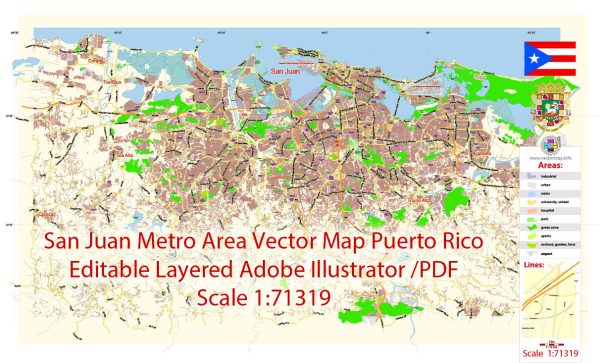
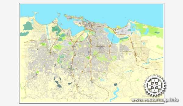
A general description of the maritime and air transportation infrastructure in San Juan, Puerto Rico.
Maritime Transportation:
Port of San Juan: San Juan boasts one of the busiest and most important seaports in the Caribbean. The Port of San Juan serves as a major hub for both cargo and cruise ships.
- Cargo Operations: The port facilitates the import and export of goods, serving as a crucial link for trade between Puerto Rico and the mainland United States, as well as other international destinations.
- Cruise Ship Terminal: San Juan is a popular cruise ship destination, with a dedicated terminal that accommodates numerous cruise lines. The port is a starting or stopping point for many Caribbean cruises.
- Container Terminals: The port has container terminals equipped to handle various types of cargo containers.
Air Transportation:
Luis Muñoz Marín International Airport (SJU): The main international airport serving San Juan is Luis Muñoz Marín International Airport. Here are some key features:
- Location: Located about 5 miles southeast of San Juan in Carolina, SJU is the busiest airport in Puerto Rico and the Caribbean.
- Terminals: The airport has several terminals, with Terminal A and Terminal B being the primary ones. These terminals handle both domestic and international flights.
- Airlines: Numerous airlines operate at SJU, offering a wide range of domestic and international flights.
- Cargo Operations: In addition to passenger flights, the airport supports significant cargo operations, handling the transport of goods to and from the island.
- Runways: Luis Muñoz Marín International Airport has multiple runways capable of accommodating various types of aircraft.
Connectivity:
Both the Port of San Juan and Luis Muñoz Marín International Airport play crucial roles in connecting Puerto Rico with the rest of the world. They facilitate the movement of goods, people, and services, contributing significantly to the economic development and tourism industry of the region.


 Author: Kirill Shrayber, Ph.D. FRGS