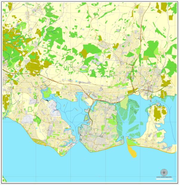
General description of water and air transportation in Portsmouth, UK.
Water Transportation:
- Portsmouth Harbour: Portsmouth is a significant port city with a historic harbor. Portsmouth Harbour serves as a major ferry port connecting the city with the Isle of Wight. It is also a base for the Royal Navy.
- Ferry Services: Ferries operate regularly between Portsmouth and the Isle of Wight. Wightlink, Hovertravel, and Red Funnel are some of the ferry operators providing services to destinations like Ryde, Fishbourne, and Cowes on the Isle of Wight.
- Cruise Terminal: The Portsmouth International Port operates a cruise terminal, facilitating cruise ship arrivals and departures.
- Marinas: Portsmouth has several marinas and yacht clubs, catering to private boat owners and sailors.
Air Transportation:
- Southampton Airport: While not located directly in Portsmouth, Southampton Airport is the nearest major airport serving the region. It is well-connected to domestic and international destinations.
- Portsmouth International Airport: As of my last update, there isn’t a significant international airport in Portsmouth itself. Most air travelers use Southampton Airport or other nearby airports.
- General Aviation: There are smaller airstrips and general aviation facilities in the surrounding areas, catering to private and recreational flying.
It’s recommended to check for updates from official sources or local transportation authorities for the latest information on water and air transportation in Portsmouth.


 Author: Kirill Shrayber, Ph.D. FRGS