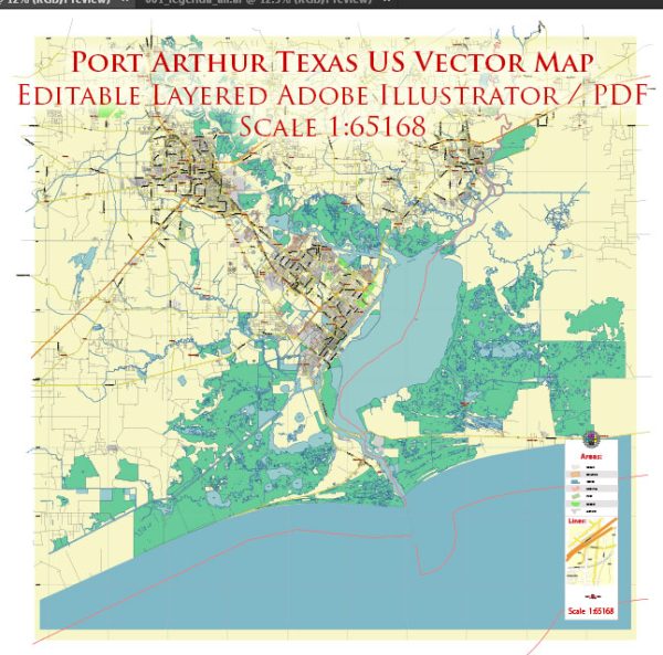
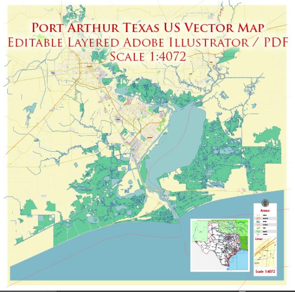
Port Arthur, Texas, is a city located in the southeastern part of the state, along the Gulf of Mexico. It is known for its strategic location with access to maritime and air transportation, making it a significant hub for various industries, especially the petrochemical and shipping sectors. Here’s a brief description of the maritime and air transportation infrastructure in and around Port Arthur:
Maritime Transportation:
- Port of Port Arthur: The city is home to the Port of Port Arthur, a deep-water port situated on the Sabine-Neches Waterway. The port handles a diverse range of cargo, including petrochemical products, crude oil, refined products, forest products, and general cargo. Its strategic location allows for easy access to the Gulf of Mexico and international shipping routes.
- Sabine-Neches Waterway: This waterway plays a crucial role in connecting Port Arthur to the Gulf of Mexico. It is a navigable channel that facilitates the transportation of goods to and from the port. The waterway is maintained for deep-draft navigation, supporting the efficient movement of large vessels.
- Petrochemical Industry: Port Arthur is a key player in the petrochemical industry, and its port serves as a vital gateway for the import and export of petrochemical products. Refineries and chemical plants in the region contribute to the shipping activity at the port.
Air Transportation:
- Southeast Texas Regional Airport: Although Port Arthur itself doesn’t have a major airport, the Southeast Texas Regional Airport (BPT) serves the broader region. Located in nearby Jefferson County, BPT provides air transportation services for both passengers and cargo. The airport has facilities to accommodate general aviation, commercial flights, and cargo operations.
- Accessibility to Larger Airports: Port Arthur is within driving distance of larger airports, such as George Bush Intercontinental Airport (IAH) in Houston and Louis Armstrong New Orleans International Airport (MSY) in Louisiana. These airports offer a broader range of domestic and international flights, connecting Port Arthur to global transportation networks.
In summary, Port Arthur’s maritime and air transportation infrastructure plays a crucial role in facilitating trade, especially in the petrochemical sector. The Port of Port Arthur, along with the Sabine-Neches Waterway, enables the efficient movement of goods, while the Southeast Texas Regional Airport and nearby major airports provide air connectivity for both passengers and cargo.


 Author: Kirill Shrayber, Ph.D. FRGS