Poland, being a country in Central Europe, has a well-developed transportation infrastructure, including maritime and air transportation.
Maritime Transportation:
Ports:
- Gdańsk:
- Located on the Baltic Sea, Gdańsk is Poland’s primary seaport.
- It serves as a crucial gateway for imports and exports.
- Gdynia:
- Adjacent to Gdańsk, Gdynia is another major Baltic seaport.
- Together with Gdańsk, it forms the Gdańsk Bay Port Authority.
- Szczecin and Świnoujście:
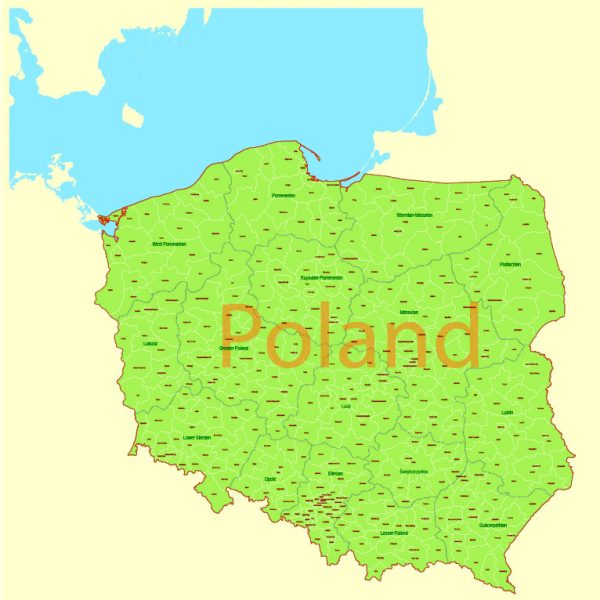
- These ports are situated in the northwest and serve as important ports on the Szczecin Lagoon.
Shipping Routes:
Poland’s maritime transportation is essential for trade, connecting the country with other European nations and international markets.
Air Transportation:
Major Airports:
- Warsaw Chopin Airport (WAW):
- Located in the capital city, Warsaw, it is the largest and busiest airport in Poland.
- Handles both domestic and international flights.
- John Paul II International Airport Kraków-Balice (KRK):
- Situated in Kraków, it is another significant international airport in Poland.
- Gdańsk Lech Wałęsa Airport (GDN):
- Serving the city of Gdańsk, it is an important airport in the northern part of the country.
- Katowice International Airport (KTW):
- Located in southern Poland, it serves the Katowice metropolitan area.
Airlines:
- LOT Polish Airlines:
- The flag carrier of Poland, providing both domestic and international flights.
- Wizz Air:
- A low-cost airline based in Hungary with a significant presence in Poland, connecting the country with various European destinations.
Air Traffic and Connectivity:
Poland’s airports play a crucial role in connecting the country with the rest of Europe and the world. Warsaw, being a major European hub, serves as a central point for international flights. The country’s strategic location makes air transportation vital for both business and tourism.
Please verify this information with more recent sources, as developments in transportation infrastructure can occur rapidly.

 Author: Kirill Shrayber, Ph.D. FRGS