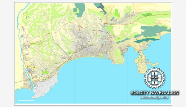
General overview of Nice, France’s maritime and air transportation infrastructure.
Maritime Transportation:
1. Port of Nice:
- The Port of Nice is a major maritime hub on the French Riviera.
- It handles both passenger and cargo traffic.
- Facilities include terminals for cruise ships, ferries, and cargo vessels.
- The port is centrally located in Nice, offering easy access to the city’s amenities.
2. Ferry Services:
- Nice has ferry connections to Corsica and other Mediterranean destinations.
- Corsica Ferries and other companies operate services connecting Nice to Corsica and nearby islands.
Air Transportation:
1. Nice Côte d’Azur Airport:
- Nice Côte d’Azur Airport is the main international airport serving the city.
- It is one of the busiest airports in France.
- Located approximately 7 kilometers southwest of Nice city center.
- The airport has two terminals, with Terminal 1 primarily handling domestic flights and Terminal 2 handling international flights.
2. Airlines and Destinations:
- The airport serves as a major hub for both domestic and international flights.
- It offers a wide range of flights to European destinations and beyond.
- Airlines operating from Nice include Air France, easyJet, Lufthansa, British Airways, and many others.
3. Ground Transportation:
- The airport is well-connected to the city and surrounding areas by various transportation options, including buses, taxis, and rental cars.
- The Promenade des Anglais, a famous waterfront promenade in Nice, is easily accessible from the airport.
4. General Aviation:
- Nice has smaller airports and aerodromes catering to general aviation needs.
- These facilities are used for private and recreational flying.
5. Heliports:
- Given the region’s affluence and popularity, there are also helicopter services available, providing quick and convenient transport to nearby destinations.
Recent Developments (as of 2022):
- Nice Côte d’Azur Airport has undergone various expansions and improvements to accommodate the growing number of passengers.
- Ongoing efforts to enhance maritime infrastructure to support cruise tourism.
- Increased focus on sustainable and eco-friendly transportation options.
Please verify the latest information from reliable sources, as there may have been changes or developments in Nice’s transportation infrastructure.


 Author: Kirill Shrayber, Ph.D. FRGS