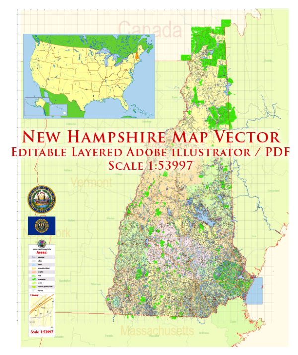
General information about water and air transportation in the state of New Hampshire.
Water Transportation: New Hampshire has a limited extent of navigable waterways compared to some other states, but it does have several rivers and lakes that support recreational boating and commercial activities. The most notable water bodies include the Connecticut River, Merrimack River, and Lake Winnipesaukee.
- Rivers:
- Connecticut River: Forms the western border of the state, providing some opportunities for boating and water recreation.
- Merrimack River: Flows through the central part of the state and is used for both recreational and commercial purposes.
- Lakes:
- Lake Winnipesaukee: The largest lake in the state, offering various water activities such as boating, fishing, and sailing.
- Ports and Harbors:
- The state has several smaller ports and harbors along its coastline, although it is relatively short.
Air Transportation: New Hampshire is served by several airports, with the Manchester-Boston Regional Airport being the largest and most significant. Here are some key points regarding air transportation:
- Manchester-Boston Regional Airport (MHT):
- Located in Manchester, it is the primary airport serving the state.
- Handles both domestic and limited international flights.
- Provides a range of services, including cargo operations.
- General Aviation Airports:
- New Hampshire has several general aviation airports that cater to private and smaller aircraft.
- Air Travel Access:
- Residents and visitors in New Hampshire often use airports in neighboring states, such as Boston Logan International Airport in Massachusetts, for more extensive flight options.
It’s important to check for any updates or changes to transportation infrastructure and services in New Hampshire since my last update. Additionally, for the latest and most specific information, you may want to consult official state transportation websites or relevant authorities.


 Author: Kirill Shrayber, Ph.D. FRGS