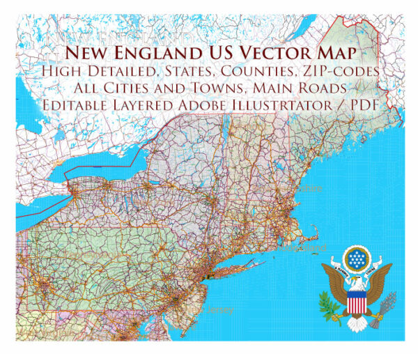
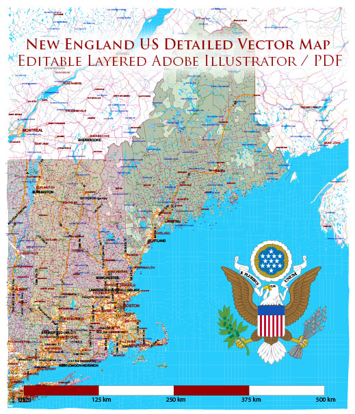
New England is a region in the northeastern part of the United States, comprising six states: Connecticut, Maine, Massachusetts, New Hampshire, Rhode Island, and Vermont. Each state has its own unique characteristics, and there are several cities, towns, and a network of roads connecting them.
Vectormap.Net provide you with the most accurate and up-to-date vector maps in Adobe Illustrator, PDF and other formats, designed for editing and printing. Please read the vector map descriptions carefully.
Here’s a brief overview:
Major Cities:
- Boston, Massachusetts:
- The capital and largest city of Massachusetts.
- Historic sites like the Freedom Trail, Boston Common, and Faneuil Hall.
- Hub for education, with numerous universities and colleges.
- Providence, Rhode Island:
- The capital and largest city of Rhode Island.
- Known for its art scene, historic architecture, and WaterFire events.
- Hartford, Connecticut:
- The capital and third-largest city in Connecticut.
- Home to cultural institutions like the Wadsworth Atheneum and the Mark Twain House.
- Portland, Maine:
- The largest city in Maine.
- Known for its waterfront, historic Old Port district, and lighthouses.
- Manchester, New Hampshire:
- The largest city in New Hampshire.
- A hub for technology and manufacturing industries.
- Burlington, Vermont:
- The largest city in Vermont.
- Situated on the shores of Lake Champlain, known for outdoor activities and a vibrant arts scene.
Other Notable Towns:
- New Haven, Connecticut:
- Home to Yale University and a center for arts and culture.
- Salem, Massachusetts:
- Famous for the Salem Witch Trials and historic architecture.
- Portsmouth, New Hampshire:
- A historic seaport with charming streets and colonial architecture.
- Newport, Rhode Island:
- Known for its Gilded Age mansions and coastal beauty.
- Concord, New Hampshire:
- The capital of New Hampshire with a focus on history and natural beauty.
Roads and Highways:
- Interstate Highways:
- I-95: Runs along the eastern coast, connecting major cities like Boston and Providence.
- I-93: Connects Boston to northern New England.
- I-91: Connects New Haven, Connecticut, to Vermont.
- Toll Roads:
- Some sections of I-90 (Massachusetts Turnpike) have tolls, especially in the Boston area.
- Free Roads:
- Many state and local roads provide free access to various towns and cities.
- Scenic Routes:
- New England is known for its picturesque drives, like the Kancamagus Highway in New Hampshire.
Keep in mind that road conditions and infrastructure may change over time, so it’s advisable to check for the latest information if you plan to travel in the region.


 Author: Kirill Shrayber, Ph.D. FRGS