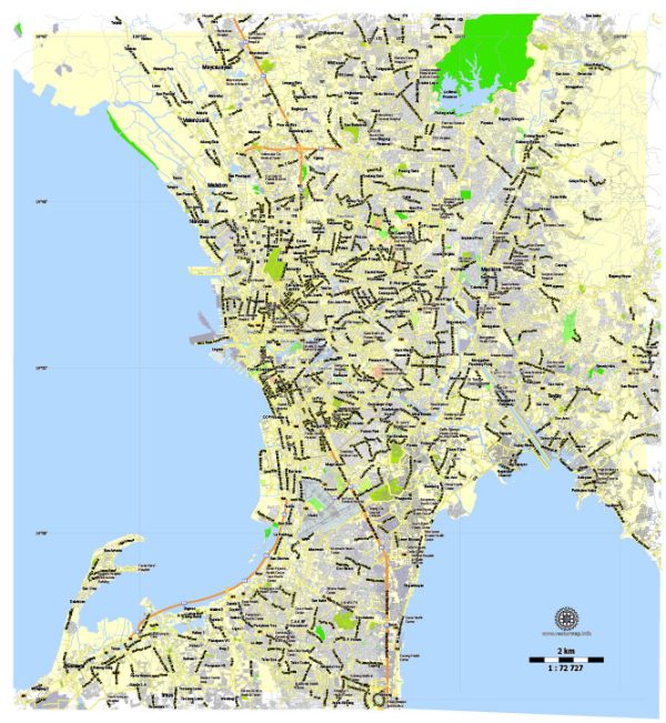
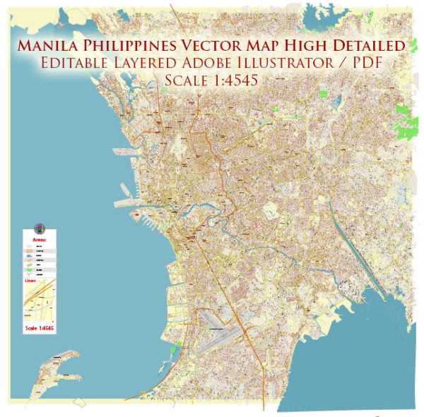
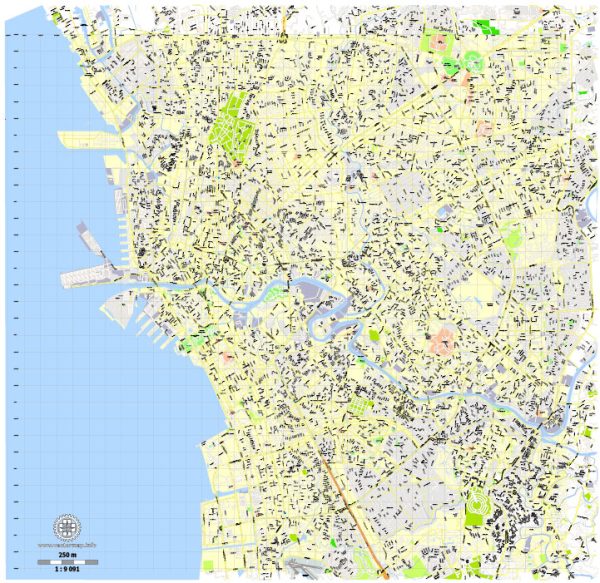
General overview of maritime and air transportation in Manila, Philippines.
Maritime Transportation:
Port Facilities:
- Port of Manila: The primary international gateway for maritime trade in the Philippines. It consists of several terminals, including Manila International Container Terminal (MICT) and South Harbor.
- Batangas Port: While not in Manila itself, Batangas Port serves as an alternative for shipping goods and passengers.
Shipping Companies:
Several shipping companies operate in Manila, facilitating both domestic and international transportation. Some major players include Aboitiz Transport System, 2GO Group, and Negros Navigation.
Coastal and Inter-Island Shipping:
Ferries and smaller vessels connect Manila to various islands in the Philippines. These play a crucial role in transporting passengers and goods between different regions.
Air Transportation:
Ninoy Aquino International Airport (NAIA):
NAIA is the primary international gateway to Manila and the surrounding areas. It consists of four terminals:
- Terminal 1: International flights
- Terminal 2: Exclusive for Philippine Airlines
- Terminal 3: A major hub for both international and domestic flights
- Terminal 4: Handles domestic flights for smaller carriers
Airlines:
Several airlines operate from NAIA, providing both domestic and international flights. Philippine Airlines, Cebu Pacific Air, and AirAsia Philippines are some of the prominent carriers.
Transportation to/from the Airport:
Various transportation options are available to and from NAIA, including taxis, ride-sharing services, and airport shuttle services. The airport is well-connected to different parts of Manila and nearby cities.
General Infrastructure:
Manila has a network of roads and highways to facilitate transportation to and from airports and seaports. Traffic congestion can be an issue during peak hours.
Recent Developments:
- Infrastructure projects aimed at improving transportation include the construction of new airports and port expansions.
- The government has been working on initiatives to enhance connectivity and reduce traffic congestion in Manila.
For the latest and more detailed information, it’s recommended to check with local transportation authorities, port authorities, and relevant government agencies, as well as keeping up with recent news updates.


 Author: Kirill Shrayber, Ph.D. FRGS