Los Angeles, California, serves as a major hub for both maritime and air transportation, playing a crucial role in global trade and travel. Here’s an overview of the maritime and air transportation aspects in the region:
Maritime Transportation:
- Port of Los Angeles:
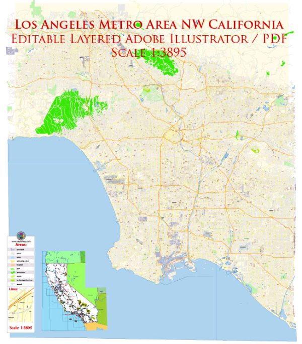
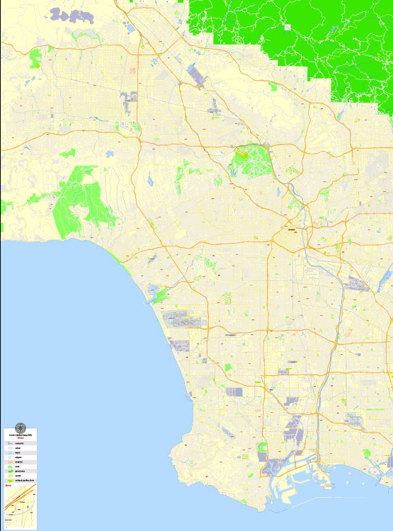
- The Port of Los Angeles, often referred to as America’s Port, is one of the largest and busiest seaports in the United States.
- It is located in San Pedro Bay and spans 43 miles of waterfront.
- The port handles a diverse range of cargo, including containers, automobiles, bulk cargo, and liquid bulk.
- Port Operations:
- Container terminals at the port facilitate the handling of containerized goods, connecting Los Angeles to major international ports.
- The port is equipped with state-of-the-art facilities and technology to ensure efficient cargo handling and logistics.
- Trade Importance:
- Due to its strategic location on the Pacific Rim, the Port of Los Angeles is a key gateway for trade between the United States and Asia.
- It contributes significantly to the economic activities of Southern California and the entire nation.
Air Transportation:
- Los Angeles International Airport (LAX):
- LAX is one of the busiest airports globally and serves as a major gateway for both domestic and international air travel.
- It has multiple terminals, each catering to different airlines and destinations.
- Air Cargo Facilities:
- LAX handles a substantial amount of air cargo, facilitating the movement of goods between continents.
- The airport has dedicated cargo facilities and terminals equipped with modern technology to expedite the processing of air freight.
- Passenger Flights:
- LAX is a major hub for various domestic and international airlines, connecting passengers to destinations worldwide.
- The airport plays a crucial role in the tourism industry, welcoming millions of passengers each year.
- Infrastructure and Connectivity:
- LAX continues to invest in infrastructure improvements to enhance passenger experience and accommodate the increasing volume of air traffic.
- The airport is well-connected to the city and the surrounding region through various transportation modes, including highways and public transit.
Intermodal Connectivity:
- Rail and Road Links:
- The region features a well-developed network of highways and railways that connect the port and airport to other parts of the country.
- Intermodal transportation is crucial for the seamless movement of goods between maritime and air facilities.
- Logistics and Distribution Centers:
- Numerous logistics and distribution centers surround the port and airport, further supporting the efficient movement of goods.
Los Angeles’s maritime and air transportation infrastructure is vital not only for the local economy but also for the broader global supply chain. The strategic positioning of these facilities contributes significantly to the region’s economic prosperity and international trade.


 Author: Kirill Shrayber, Ph.D.