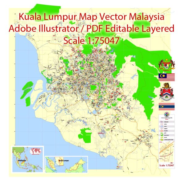
General overview of Kuala Lumpur, Malaysia’s maritime and air transportation systems.
Maritime Transportation:
1. Ports:
- Port Klang: Located about 40 kilometers west of Kuala Lumpur, Port Klang is Malaysia’s busiest port. It serves as the country’s main gateway for imports and exports, handling a significant portion of maritime trade.
2. Shipping:
- Container Shipping: Port Klang is a major hub for container shipping, facilitating the movement of goods to and from Malaysia.
- Cruise Terminals: Cruise ships also operate in the region, with facilities available for passenger ships.
3. Connectivity:
- Waterways: Malaysia has an extensive network of rivers and waterways, and some cargo transportation occurs via inland water routes.
Air Transportation:
1. Airports:
- Kuala Lumpur International Airport (KLIA): KLIA is Malaysia’s main international airport and is situated approximately 45 kilometers south of Kuala Lumpur. It serves as a major hub for both domestic and international flights.
2. Connectivity:
- Airlines: KLIA is a hub for Malaysia Airlines, the country’s national carrier, as well as AirAsia, a prominent low-cost carrier. These airlines connect Kuala Lumpur to various destinations globally.
- Terminal Facilities: KLIA has two terminals: KLIA Main Terminal (KLIA1) and KLIA2. KLIA1 primarily handles full-service carriers, while KLIA2 is dedicated to low-cost carriers.
3. Ground Transportation:
- Rail Link: The KLIA Ekspres and KLIA Transit train services provide fast and convenient connections between the airport and the city center.
- Road Networks: There are well-developed road networks connecting the airport to Kuala Lumpur and surrounding areas.
4. General Aviation:
- Subang Airport (Sultan Abdul Aziz Shah Airport): Located closer to Kuala Lumpur, Subang Airport serves as a hub for general aviation, private jets, and some regional flights.
5. Future Developments:
- Malaysia continually invests in its transportation infrastructure. As of my last update, there were plans for the development of a third terminal at KLIA to accommodate the growing air traffic.
For the most current and specific information, please check with local authorities, airport authorities, or other relevant sources.


 Author: Kirill Shrayber, Ph.D. FRGS