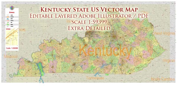
Kentucky is a state located in the southeastern region of the United States. Some of the main cities and towns in Kentucky include:
- Louisville: The largest city in Kentucky, located in the northern part of the state. It is known for the Kentucky Derby, a famous horse race held annually.
- Lexington: Known as the “Horse Capital of the World,” Lexington is in the central part of the state and is famous for its horse farms and racing industry.
- Frankfort: The state capital of Kentucky, situated in the central part of the state along the Kentucky River.
- Bowling Green: Located in the southwestern part of the state, Bowling Green is known for the National Corvette Museum and Western Kentucky University.
- Owensboro: Situated in western Kentucky along the Ohio River, Owensboro is known for its bluegrass music heritage and hosts the International Bluegrass Music Museum.
- Covington: Located in northern Kentucky, just across the Ohio River from Cincinnati, Ohio. It is part of the Cincinnati metropolitan area.
- Paducah: Situated in the western part of the state along the Ohio River, Paducah is known for its historic downtown and the National Quilt Museum.
- Hopkinsville: Located in the southwestern part of the state, Hopkinsville is known for its annual Little Green Men Days festival and is near the Land Between the Lakes National Recreation Area.
- Richmond: In the eastern part of the state, Richmond is home to Eastern Kentucky University.
- Elizabethtown: Situated in north-central Kentucky, Elizabethtown is known for its role in the Civil War and is near Fort Knox.
These are just a few examples, and there are many more towns and cities across the state of Kentucky, each with its own unique character and attractions.


 Author: Kirill Shrayber, Ph.D. FRGS