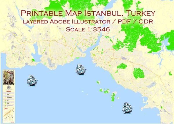
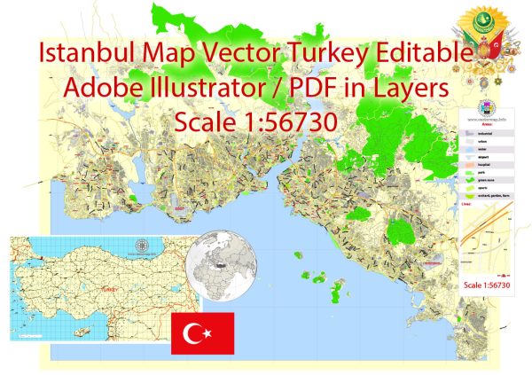
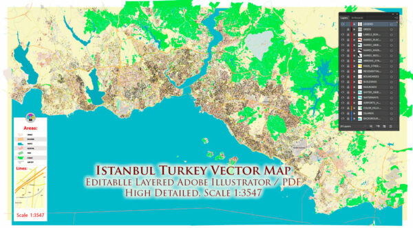
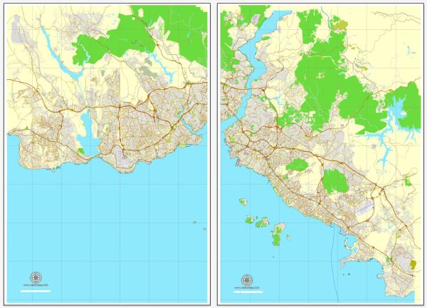
General overview of maritime and air transportation in Istanbul, Turkey.
Maritime Transportation:
1. Bosphorus Strait:
- Istanbul is strategically located on the Bosphorus Strait, a natural waterway that connects the Black Sea to the Sea of Marmara and, in turn, the Aegean and Mediterranean Seas. The Bosphorus is a crucial maritime route for international shipping.
2. Ports:
- Istanbul has several ports, including the Port of Haydarpaşa, Port of Ambarlı, and Port of Salıpazarı, among others. These ports play a significant role in facilitating trade and cargo movement.
3. Ferry Services:
- Ferry services are widely used for passenger transportation between the European and Asian sides of the city. They operate across the Bosphorus and provide a scenic and practical means of commuting.
Air Transportation:
1. Istanbul Airport (IST):
- Istanbul Airport is the main international airport serving the city. It officially opened in 2018 and is one of the busiest airports in Europe. It is located on the European side of Istanbul.
2. Sabiha Gökçen International Airport (SAW):
- Sabiha Gökçen Airport is another major airport in Istanbul, located on the Asian side. It primarily serves as a hub for low-cost carriers and provides both domestic and international flights.
3. Atatürk Airport (IST) (Closed for Commercial Flights):
- Atatürk Airport, once the primary international gateway to Istanbul, was closed for commercial flights when Istanbul Airport became fully operational. It still may be used for other purposes, such as cargo and general aviation.
4. Domestic Flights:
- Domestic flights connect Istanbul to various cities within Turkey. These flights operate from both Istanbul Airport and Sabiha Gökçen Airport.
5. Transportation Hubs:
- Both airports are well-equipped with modern facilities, including shopping areas, lounges, and efficient ground transportation services such as buses, taxis, and car rentals.
6. Connectivity:
- Istanbul’s airports play a crucial role in connecting Europe to Asia and serve as important transit points for travelers going to and from various destinations worldwide.
Please note that developments in transportation infrastructure can occur, so it’s advisable to check for the latest information if you need the most up-to-date details.


 Author: Kirill Shrayber, Ph.D. FRGS