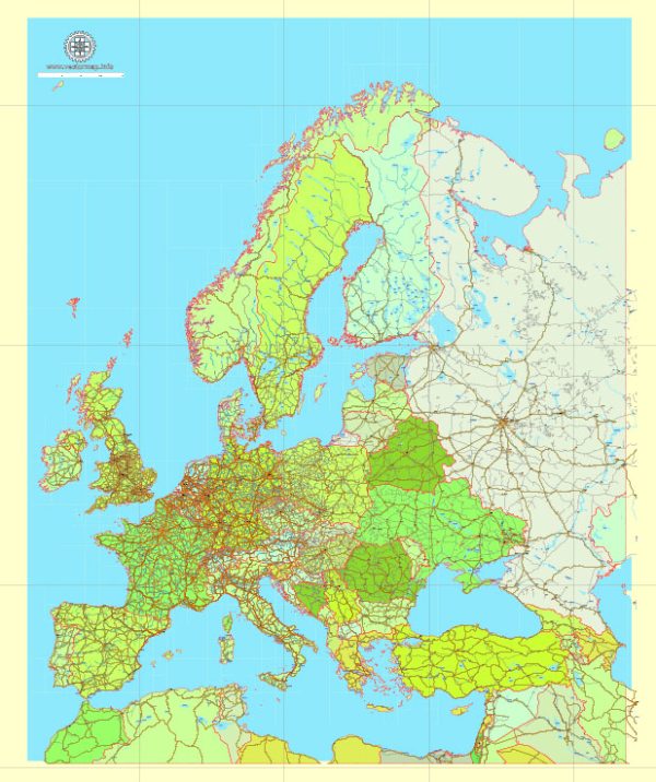
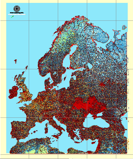
Europe has a well-developed and extensive transportation system that includes various modes of transportation, facilitating the movement of people and goods across the continent. Here’s an overview of the principal transportation systems in Europe:
- Road Transportation:
- Road Network: Europe has a dense and well-maintained road network, connecting cities, towns, and rural areas. The road infrastructure includes highways, expressways, and local roads.
- Automobiles: Cars are a popular mode of transportation in Europe, and many countries have a high rate of car ownership. Efficient road systems facilitate both personal and freight transport.
- Rail Transportation:
- High-Speed Rail: Europe is known for its extensive high-speed rail network, connecting major cities. Countries like France, Germany, Spain, and Italy have well-developed high-speed rail systems, making train travel a fast and efficient option.
- Regional and Commuter Rail: Apart from high-speed trains, Europe has an extensive network of regional and commuter trains that serve both urban and rural areas.
- Air Transportation:
- Airports: Europe is home to numerous international airports, with major hubs in cities like London, Paris, Frankfurt, and Amsterdam. These airports facilitate both domestic and international air travel.
- Airlines: Many European countries have their own national airlines, and several low-cost carriers operate within the continent, providing affordable options for air travel.
- Maritime Transportation:
- Ports: Europe has major seaports along its coasts, facilitating maritime trade and transportation. Rotterdam (Netherlands), Hamburg (Germany), and Marseille (France) are among the busiest ports in Europe.
- Ferries: Given the numerous islands and coastal regions, ferry services are essential for connecting different parts of Europe, especially in countries like Greece, Italy, and Sweden.
- Public Transportation:
- Urban Public Transit: Most European cities have well-developed public transportation systems, including buses, trams, and metro/subway systems.
- Bicycles and Pedestrian Paths: Many European cities promote sustainable transportation, with extensive networks of bicycle paths and pedestrian-friendly areas.
- Inland Waterways:
- Rivers and Canals: Inland waterways, including rivers and canals, are used for both recreational and commercial purposes. The Rhine, Danube, and Seine rivers are vital for transporting goods.
- Tunnels and Bridges:
- Tunnels: Europe boasts some of the longest and most advanced tunnels, such as the Channel Tunnel connecting the UK and France.
- Bridges: Iconic bridges like the Golden Gate Bridge in San Francisco and the Tower Bridge in London are integral parts of the transportation infrastructure.
The integration of these transportation modes contributes to the overall efficiency and connectivity of Europe’s transportation system, allowing for seamless travel and trade across the continent. Additionally, initiatives are underway to promote sustainability, with a focus on reducing emissions and incorporating eco-friendly transportation solutions.


 Author: Kirill Shrayber, Ph.D. FRGS