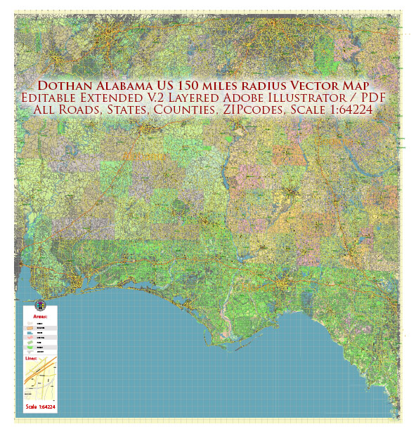
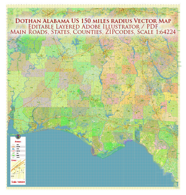
General description of Dothan, Alabama, including its urban amenities.
Dothan is a city located in the southeastern part of Alabama, USA. It is the largest city in Houston County and serves as the principal city of the Dothan Metropolitan Area. Here are some aspects of Dothan’s urban amenities:
- Cultural and Recreational Facilities:
- Wiregrass Museum of Art: The city has a museum dedicated to showcasing regional and contemporary art.
- Landmark Park: A historical and agricultural park that includes a living history farm, nature trails, and a planetarium.
- Parks and Outdoor Activities:
- Westgate Park: A large city park with sports facilities, walking trails, and playgrounds.
- Forever Wild Trails: Natural trails for hiking and biking, providing opportunities for outdoor recreation.
- Shopping and Dining:
- Downtown Dothan: The downtown area may have local shops, restaurants, and cafes.
- Wiregrass Commons Mall: A shopping mall with a variety of retail stores and dining options.
- Education:
- Dothan is home to several educational institutions, including Wallace Community College and Troy University.
- Medical Facilities:
- Southeast Health (formerly Southeast Alabama Medical Center) is a major healthcare facility serving the region.
- Transportation:
- Dothan has access to major highways, including US Highway 84 and US Highway 431, facilitating transportation within the city and to other regions.
- Events and Festivals:
- The city hosts various events and festivals throughout the year, celebrating cultural, arts, and community activities.
- Community Services:
- The city provides essential services such as police, fire, and public utilities.
- Sports and Recreation:
- Local sports facilities may host events, and there might be opportunities for recreational sports.
It’s important to check for updates or changes to the amenities mentioned above, as cities can evolve and develop new features over time. Local tourism websites, city government pages, or community resources can provide the most current information about Dothan’s urban amenities.


 Author: Kirill Shrayber, Ph.D. FRGS