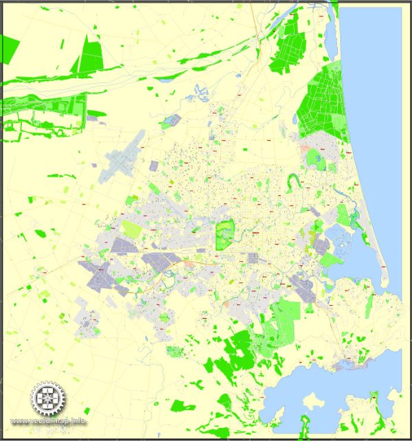
General overview of Christchurch, New Zealand’s urban amenities.
Christchurch is the largest city in the South Island of New Zealand and is known for its beautiful landscapes, vibrant culture, and post-earthquake reconstruction efforts. Here are some key aspects of urban amenities in Christchurch:
- Parks and Gardens:
- Hagley Park: Located in the heart of the city, Hagley Park is a large public park with expansive green spaces, walking paths, and the Avon River running through it. The Christchurch Botanic Gardens are situated within Hagley Park.
- Cultural and Recreational Facilities:
- Christchurch Art Gallery Te Puna o Waiwhetū: This contemporary art gallery features a diverse range of local and international exhibits.
- Canterbury Museum: Located near Hagley Park, the museum showcases exhibits on natural history, cultural heritage, and Antarctic exploration.
- Entertainment and Shopping:
- Christchurch Casino: For those interested in entertainment and gaming, the casino offers a range of activities.
- The Arts Centre: A historic complex with shops, galleries, and cafes, offering a mix of cultural and retail experiences.
- Re:START Mall (Container Mall): While initially a temporary shopping precinct created from shipping containers following the earthquakes, it contributed to the city’s recovery and added a unique element to the urban landscape.
- Education and Innovation:
- University of Canterbury: A major university with a campus located in the suburb of Ilam.
- Ara Institute of Canterbury: Provides a variety of tertiary education programs.
- Transportation:
- Christchurch International Airport: The main gateway to the South Island, providing domestic and international flights.
- Public Transportation: Bus services connect various parts of the city, and cycling infrastructure has been developed to encourage sustainable transport.
- Housing and Accommodation:
- Christchurch offers a range of housing options, from suburban homes to apartments in the city center.
- Healthcare:
- Christchurch Hospital: The main public hospital serving the region, located in the city center.
- Dining and Cuisine:
- The city has a diverse culinary scene with a wide range of restaurants, cafes, and bars offering both local and international cuisine.
- Sports and Recreation:
- Christchurch hosts various sports events and has facilities for rugby, cricket, and other sports. The Christchurch Adventure Park offers outdoor recreational activities.


 Author: Kirill Shrayber, Ph.D. FRGS