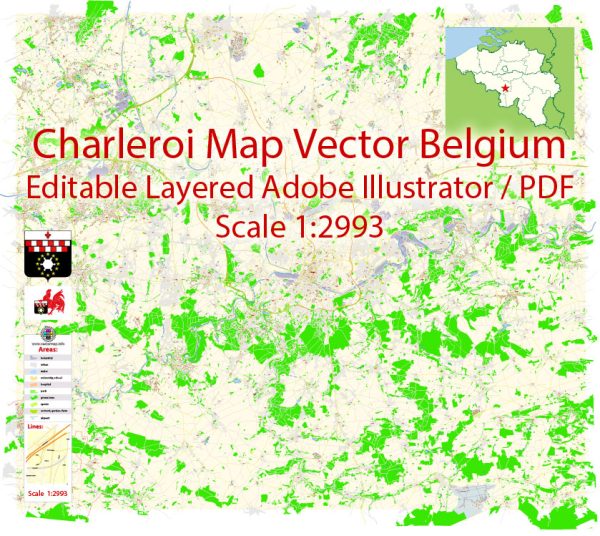
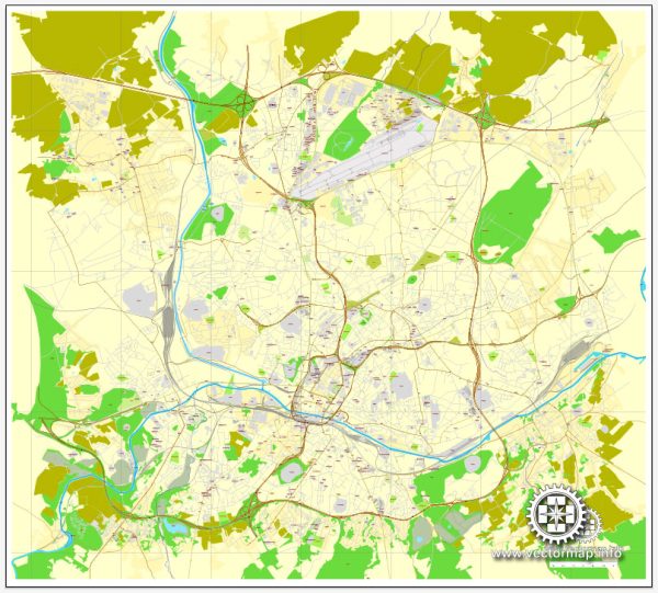
Charleroi is a city located in the Wallonia region of Belgium. It is known for its industrial history, but in recent years, efforts have been made to revitalize the city and improve its urban amenities. Here’s a brief overview of the urban amenities in Charleroi:
- Public Transportation:
- Charleroi has a well-developed public transportation system, including buses and trams, making it easy for residents and visitors to navigate the city.
- The city is also served by Charleroi Airport, providing convenient air travel options.
- Parks and Green Spaces:
- Charleroi offers several parks and green spaces where residents can relax and enjoy outdoor activities. The Parc Reine Astrid is one such park that provides a pleasant environment for leisure.
- Cultural and Recreational Facilities:
- The city has cultural venues and recreational facilities, such as theaters, cinemas, and sports complexes, providing a variety of entertainment options for residents.
- Shopping and Dining:
- Charleroi features shopping districts and markets where residents can find a range of goods and products. The city also has a variety of restaurants, cafes, and bars offering diverse culinary experiences.
- Cultural Institutions:
- Charleroi has cultural institutions, including museums and art galleries, showcasing the city’s history and contributing to its cultural richness.
- Urban Renewal Projects:
- In recent years, Charleroi has undertaken urban renewal projects to enhance the cityscape and improve the quality of life for its residents. These projects focus on transforming industrial areas into more modern and livable spaces.
- Educational Institutions:
- The city is home to educational institutions, including schools and universities, providing residents with access to quality education.
- Healthcare Facilities:
- Charleroi has healthcare facilities, hospitals, and clinics to cater to the medical needs of its residents.
- Cultural Events:
- The city hosts cultural events and festivals throughout the year, adding vibrancy to the community and attracting visitors.
- Historical Sites:
- Charleroi has historical sites and landmarks that reflect its industrial past and contribute to its cultural identity.
While Charleroi has faced economic challenges in the past, ongoing efforts to improve urban amenities and promote cultural and economic development are contributing to positive changes in the city. Keep in mind that the specifics of urban amenities can evolve, so it’s advisable to check for the latest information when planning a visit or considering the city for residence.


 Author: Kirill Shrayber, Ph.D. FRGS