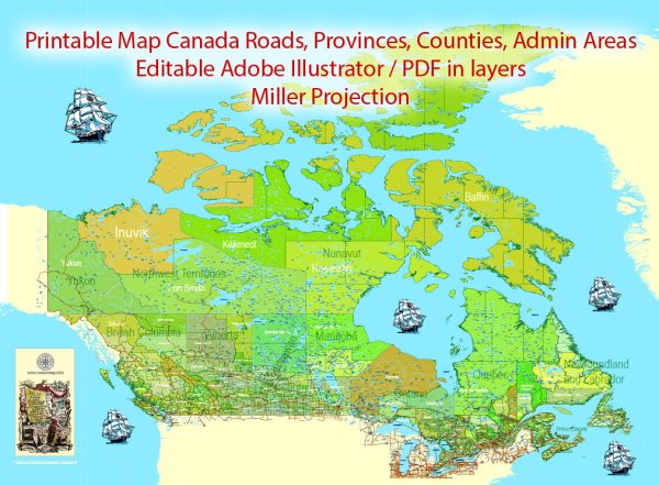
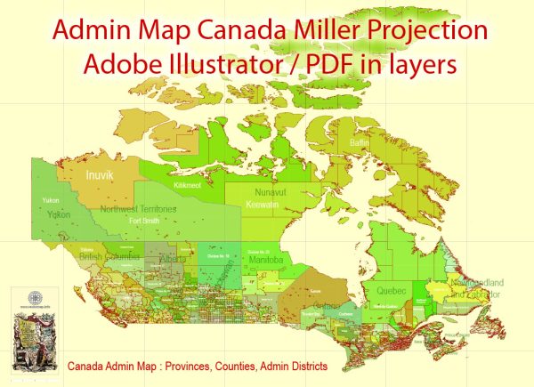
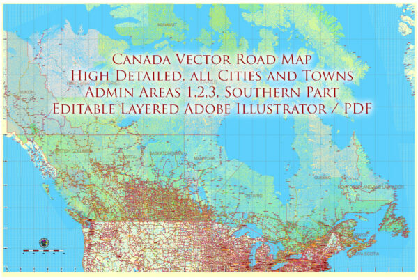
Canada is divided into ten provinces and three territories. Each province and territory has its own government responsible for certain areas, while the federal government handles matters that concern the entire country. Here’s a brief description of each administrative territory:
Provinces:
- Alberta: Located in western Canada, Alberta is known for its oil and gas industry, as well as its stunning natural landscapes, including the Rocky Mountains.
- British Columbia (BC): This province is on the west coast of Canada and is known for its diverse geography, including mountains, forests, and coastline. Vancouver is a major city in BC.
- Manitoba: Situated in the center of Canada, Manitoba is known for its prairies, forests, and lakes. Winnipeg, the capital, is a cultural and economic hub.
- New Brunswick: Located in eastern Canada, New Brunswick is known for its forests, rivers, and the Bay of Fundy, which has the highest tides in the world.
- Newfoundland and Labrador: This province, on the east coast, consists of the island of Newfoundland and mainland Labrador. It has a rich maritime history and is known for its rugged landscapes.
- Nova Scotia: Another province on the east coast, Nova Scotia is famous for its picturesque coastline, historic sites, and cultural heritage.
- Ontario: Ontario is the most populous province and home to Canada’s largest city, Toronto. It is an economic and cultural hub with a diverse population.
- Prince Edward Island (PEI): A small island province on the east coast, PEI is known for its red sand beaches, rolling countryside, and the fictional setting of Anne of Green Gables.
- Quebec: Quebec is Canada’s second-most populous province and is known for its distinct French-speaking culture. Montreal and Quebec City are major cultural centers.
- Saskatchewan: Located in the prairie region of Canada, Saskatchewan is known for its vast expanses of farmland, forests, and mineral resources.
Territories:
- Northwest Territories (NWT): Situated in northern Canada, NWT is known for its diverse geography, including forests, tundra, and the Mackenzie River.
- Nunavut: The newest and largest territory, Nunavut is primarily located in the Arctic region and is home to a majority Indigenous population, with a unique culture and way of life.
- Yukon: Located in the far west, Yukon is known for its stunning wilderness, including mountains, forests, and the Klondike region, famous for the Klondike Gold Rush.


 Author: Kirill Shrayber, Ph.D. FRGS