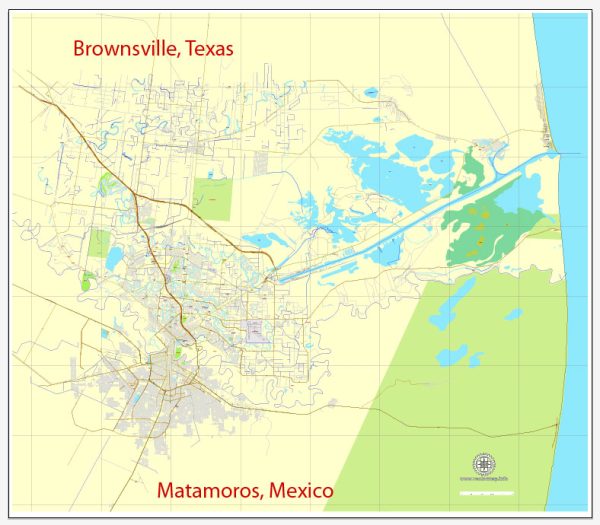
Brownsville, Texas, and Matamoros, Mexico, are neighboring cities located along the United States-Mexico border. They share a rich cultural heritage, and visitors to the region can experience a blend of American and Mexican influences. Here are some cultural attractions in both Brownsville and Matamoros:
Brownsville, Texas:
- Gladys Porter Zoo: This zoo is home to a diverse range of animals from around the world. It’s a family-friendly attraction that also focuses on conservation and education.
- Brownsville Museum of Fine Arts: This museum showcases a collection of regional and Mexican art. It’s a great place to explore various forms of artistic expression.
- Historic Downtown Brownsville: The historic downtown area is filled with charming architecture, shops, and restaurants. Visitors can stroll through the streets and appreciate the city’s history.
- Stillman House Museum: This historic house provides a glimpse into the life of one of Brownsville’s prominent families. The museum features period furnishings and exhibits related to the city’s history.
- Palo Alto Battlefield National Historical Park: History enthusiasts can explore the site of the first battle of the U.S.-Mexican War, which took place in 1846. The park offers guided tours and educational programs.
Matamoros, Mexico:
- Casa de la Cultura: This cultural center promotes the arts and offers various classes and workshops. It’s a hub for cultural events, including music, dance, and theater performances.
- Puente Nuevo (New Bridge): Connecting Brownsville and Matamoros, Puente Nuevo is not only a practical border crossing but also a symbol of the strong ties between the two cities.
- Zaragoza Market: A bustling market where visitors can experience the vibrant local culture. From fresh produce to traditional crafts, the market offers a taste of daily life in Matamoros.
- Catedral de Nuestra Señora del Refugio: This historic cathedral is a prominent religious landmark in Matamoros. Its architecture and religious significance make it a must-visit for those interested in cultural and religious heritage.
- Playa Bagdad: For those looking for a more relaxed experience, Playa Bagdad is a beautiful beach near Matamoros. It’s a popular spot for locals and visitors alike, offering a serene environment along the Gulf of Mexico.
When visiting these cities, it’s important to be aware of the current border-crossing regulations and travel advisories. Additionally, embracing the diverse cultures and enjoying the unique offerings of both Brownsville and Matamoros can provide a memorable experience.


 Author: Kirill Shrayber, Ph.D. FRGS