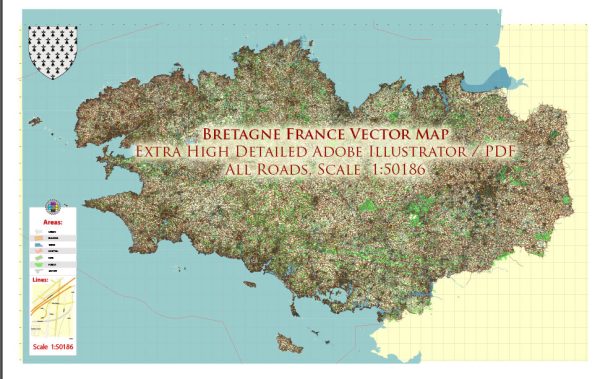
Brittany (Bretagne in French) is a region in the northwest of France known for its rich cultural heritage, stunning landscapes, and historic sites. While the region is not as urbanized as some other parts of France, it does have several cities and towns with urban amenities. Here’s a general overview:
- Rennes:
- Rennes is the capital of Brittany and the largest city in the region.
- It has a vibrant cultural scene, with numerous museums, theaters, and galleries.
- The city center is characterized by medieval streets and half-timbered houses.
- Rennes offers a range of shopping opportunities, from boutiques to larger shopping centers.
- Restaurants and cafes showcase both traditional Breton cuisine and international dishes.
- Brest:
- Brest is a major port city on the western tip of Brittany.
- It has a maritime history and is home to the National Navy Museum.
- The city has parks, gardens, and recreational areas for outdoor activities.
- Brest has a variety of dining options, including seafood restaurants.
- Saint-Malo:
- While smaller than Rennes and Brest, Saint-Malo is a popular tourist destination.
- The walled city is known for its picturesque architecture and historical significance.
- Saint-Malo offers a range of shops, cafes, and restaurants, particularly along its city walls.
- Quimper:
- Quimper is known for its well-preserved medieval architecture.
- The city is famous for its faience pottery, and you can explore workshops and galleries.
- Quimper has a charming old town with cobbled streets and a cathedral.
- Lorient:
- Lorient has a strong maritime tradition and hosts the Interceltic Festival.
- The city offers museums, parks, and gardens for residents and visitors.
- Lorient’s fishing port contributes to its seafood-centric culinary scene.
In addition to these cities, Brittany’s rural areas are known for their beautiful countryside, coastal landscapes, and historic sites such as Mont Saint-Michel. The region also hosts various festivals and events throughout the year, celebrating Breton culture, music, and traditions.


 Author: Kirill Shrayber, Ph.D. FRGS