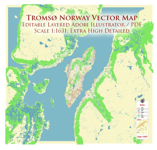
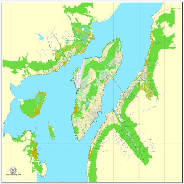
Tromsø, located in the northern part of Norway within the Arctic Circle, has a history of urban development shaped by its strategic location, economic activities, and cultural influences. Here’s an overview of the key phases in Tromsø’s urban evolution:
Indigenous Settlement:
Before the arrival of Europeans, the Tromsø region was inhabited by the indigenous Sámi people. They engaged in fishing, hunting, and reindeer herding, adapting to the harsh Arctic environment.
18th Century:
Tromsø was officially established as a trading post in 1794, and it quickly became a center for trade, particularly in the fishing and whaling industries. The city’s location along the coast facilitated maritime commerce, and it became a hub for Arctic exploration.
19th Century:
The 19th century saw increased economic activity in Tromsø, driven by the expansion of the fishing and shipping industries. The city’s harbor became a focal point for trade and transportation. Tromsø’s growth was further fueled by the Arctic whaling boom.
Arctic Exploration:
Tromsø served as a launching point for several Arctic expeditions, including those led by explorers such as Roald Amundsen and Fridtjof Nansen. The city’s strategic location made it a natural base for polar exploration in the late 19th and early 20th centuries.
World War II:
During World War II, Tromsø played a strategic role in the Battle of the Atlantic. The city was an important base for the Royal Navy and Allied forces, contributing to the protection of convoys traveling to and from the Soviet Union.
Post-War Era:
After the war, Tromsø continued to develop as a center for maritime activities and Arctic research. The establishment of the University of Tromsø in 1968 reinforced the city’s role in education and research, making it a prominent cultural and academic center in northern Norway.
Economic Diversification:
While fishing and shipping remained important, Tromsø diversified its economy in the latter half of the 20th century. The city became a hub for telecommunications and satellite technology, with the establishment of the Tromsø Satellite Station.
Cultural Hub:
Tromsø has developed into a cultural hub with a vibrant arts and music scene. The Arctic Cathedral, completed in 1965, stands as a significant architectural and cultural landmark. The city hosts festivals, events, and museums that celebrate its unique Arctic identity.
Infrastructure Development:
The construction of the Tromsø Bridge in 1960 improved connectivity to the mainland, fostering economic and social integration. The city’s airport, Tromsø Airport, also plays a crucial role in transportation and tourism.
Contemporary Period:
Tromsø continues to face challenges related to its Arctic climate and geographical isolation. However, it has embraced its identity as the “Gateway to the Arctic” and remains an important center for research, education, and tourism. Ongoing urban development projects focus on sustainability and resilience in the face of environmental changes.
Tromsø’s history of urban development reflects its evolution from a trading post and fishing center to a modern city with a diverse economy, strong cultural identity, and a key role in Arctic research and exploration.


 Author: Kirill Shrayber, Ph.D. FRGS