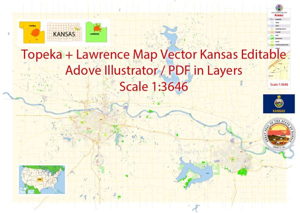
Here is an overview of the history of urban development in Topeka and Lawrence, Kansas:
Topeka:
- Founded in 1854 as the capital city of Kansas. Its location on the Kansas River and establishment as the state capital fueled early growth.
- Developed with bustling commercial activity starting in the late 1800s. Saw infrastructure improvements like paved streets, water and electric systems in the early 20th century.
- Steady suburban expansion outward from the downtown core through the mid-20th century. Featured industrial development and new neighborhoods to house growing population.
- Faced urban decline and center city deterioration in the 1960s-1980s. Suburbanization emptied downtown area.
- Recent years focused on urban revitalization of downtown Topeka through projects like riverfront redevelopment. Promoting economic growth remains a priority.
Lawrence:
- Founded in 1854 by settlers from Massachusetts who named it after the hometown of the movement’s leader. Positioned along the Oregon-California Trail.
- Early growth connected to the University of Kansas, founded in 1866. Downtown businesses emerged to serve students and faculty.
- Developed into an educational and commercial hub in early 20th century. Continued suburban expansion, especially post-World War II.
- Historic Massachusetts Street downtown district rebounded in the 1980s after period of decline. Seen as vibrant, thriving college town center today.


 Author: Kirill Shrayber, Ph.D. FRGS