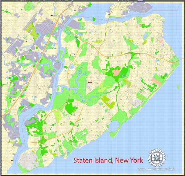
Staten Island, one of the five boroughs of New York City, has a rich history of urban development that spans several centuries. Here is a brief overview:
- Indigenous Inhabitants: Before European colonization, the Lenape Native Americans inhabited Staten Island. They lived off the rich resources provided by the island’s forests, waters, and land.
- Dutch and English Colonization: The Dutch were the first Europeans to settle on Staten Island in the early 17th century. They established several small settlements, but in 1664, the English seized control of the region, including Staten Island. Over the next century, English-speaking settlers, primarily of Dutch and English origin, began to establish farms and small communities.
- Agricultural Economy: For much of its early history, Staten Island remained predominantly rural, with agriculture being the mainstay of the economy. Farms flourished, and the island became known for its production of fruits and vegetables.
- 19th Century Growth: The 19th century brought increased industrialization and urbanization to Staten Island. Ferry services connecting the island to Manhattan were established, facilitating transportation and encouraging growth. The opening of the Staten Island Railroad in the mid-19th century further enhanced connectivity.
- 20th Century Suburbanization: In the early to mid-20th century, Staten Island underwent significant suburban development. The construction of the Verrazano-Narrows Bridge in 1964, connecting Staten Island to Brooklyn, further accelerated this trend. Suburban communities expanded rapidly, and many New York City residents moved to Staten Island for its quieter suburban lifestyle.
- Infrastructure and Population Growth: The construction of the Verrazano-Narrows Bridge and the Staten Island Expressway played crucial roles in transforming the island’s infrastructure. The population surged as more people settled in the newly accessible region.
- Challenges and Changes: Despite its suburban character, Staten Island faced challenges common to urban areas, including issues related to infrastructure, transportation, and environmental concerns. Over the years, efforts were made to address these challenges and improve the quality of life on the island.
- Contemporary Urban Development: In recent decades, Staten Island has seen ongoing urban development, with a focus on improving public amenities, transportation, and community spaces. The St. George Waterfront Redevelopment and the Freshkills Park project (transforming a former landfill into a vast park) are examples of initiatives aimed at enhancing the island’s urban landscape.
Throughout its history, Staten Island has evolved from a rural landscape to a suburban community, experiencing significant changes in response to transportation advancements and the broader development of the New York City metropolitan area. The island’s unique blend of suburban living and proximity to the city continues to shape its urban development.


 Author: Kirill Shrayber, Ph.D. FRGS