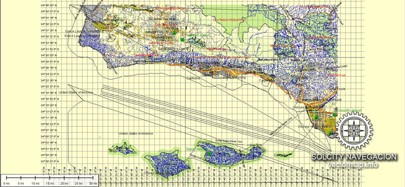
Santa Barbara, located on the central coast of California, has a rich history of urban development that reflects the region’s diverse cultural influences and natural beauty. Here is a brief overview of the history of urban development in Santa Barbara:
- Native American Presence: Before European settlers arrived, the area now known as Santa Barbara was inhabited by the Chumash people. They lived along the coast and relied on the abundant marine resources for sustenance.
- Spanish Colonial Period (18th Century): Spanish explorers, including Juan Cabrillo and Sebastián Vizcaíno, arrived in the 16th and 17th centuries, but it was not until the late 18th century that Spanish settlers established the Presidio of Santa Barbara and the nearby Mission Santa Barbara in 1786. The mission played a significant role in shaping the area’s development, with agriculture and cattle ranching becoming dominant activities.
- Mexican and Rancho Period (19th Century): After Mexico gained independence from Spain in 1821, the Mexican government secularized the missions, leading to the distribution of land grants (ranchos) to private individuals. This period saw the development of large-scale cattle ranching and agriculture in the region.
- American Period (Mid-19th Century): With the cession of California to the United States in 1848 after the Mexican-American War, the character of Santa Barbara began to change. The arrival of American settlers and the establishment of a U.S. military presence contributed to the town’s growth.
- Economic and Cultural Transformation (Late 19th Century): The late 19th century saw the growth of the local economy through industries such as agriculture, oil production, and tourism. The completion of the Southern Pacific Railroad in 1887 further connected Santa Barbara to the rest of California.
- Earthquake and Rebuilding (1925): A devastating earthquake struck Santa Barbara in 1925, causing widespread destruction. In the aftermath, the community decided to rebuild with a distinctive Spanish Colonial Revival architectural style, which is now a defining feature of the city.
- Post-World War II Development: Like many other parts of the United States, Santa Barbara experienced post-World War II suburbanization and population growth. This period saw the expansion of residential neighborhoods, commercial districts, and infrastructure.
- Environmental Consciousness (Late 20th Century): In the latter half of the 20th century, Santa Barbara became known for its commitment to environmental conservation and planning. The community actively sought to preserve open spaces and maintain a balance between development and environmental stewardship.
- Contemporary Urban Development: Today, Santa Barbara continues to balance growth with the preservation of its historical and environmental assets. The city’s architecture, diverse neighborhoods, and emphasis on sustainable development contribute to its unique character.
Santa Barbara’s urban development history reflects a blend of Native American, Spanish, Mexican, and American influences, resulting in a city with a distinctive cultural heritage and architectural style.


 Author: Kirill Shrayber, Ph.D. FRGS