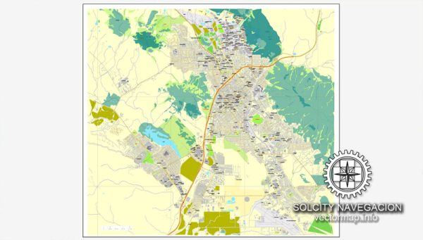
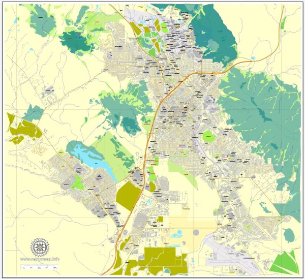
San Luis Obispo, located on the central coast of California, has a rich history of urban development that reflects the broader trends and influences shaping the region and the state. Here is an overview of the history of urban development in San Luis Obispo:
- Indigenous Presence: Before European settlers arrived, the area now known as San Luis Obispo was inhabited by the Chumash people, who had a complex and thriving indigenous culture. Their presence in the region dates back thousands of years.
- Spanish Mission Era (1772-1834): The Spanish established the Mission San Luis Obispo de Tolosa in 1772, which played a significant role in shaping the early development of the area. The mission served as both a religious center and an economic hub, with agriculture and ranching playing vital roles in sustaining the community.
- Mexican and Rancho Period (1834-1848): After Mexico gained independence from Spain, the Mexican government secularized the missions, and the land was distributed to private owners. The lands around San Luis Obispo became part of various ranchos.
- American Period and Gold Rush (1848-1850s): With the Treaty of Guadalupe Hidalgo in 1848, California became part of the United States. The discovery of gold in Northern California brought a surge of people to the state, and San Luis Obispo saw increased economic activity as a result.
- Railroad and Agricultural Boom (Late 19th Century): The arrival of the Southern Pacific Railroad in the 1890s connected San Luis Obispo to larger markets, facilitating the growth of agriculture and commerce. The city became a center for dairy and grain production.
- Twentieth Century Expansion: The 20th century saw further urban development, with the city expanding as a result of increased tourism, agriculture, and the establishment of California Polytechnic State University (Cal Poly) in 1901. The university has played a crucial role in shaping the city’s character and fostering an educated population.
- Post-War Growth and Suburbanization (1940s-1960s): Like many other American cities, San Luis Obispo experienced post-World War II growth and suburbanization. The expansion of infrastructure, highways, and the development of suburban neighborhoods characterized this period.
- Preservation Efforts and Cultural Identity (Late 20th Century – Present): In the latter half of the 20th century, there was a growing awareness of the need to preserve the city’s historical and cultural identity. Efforts were made to protect and restore historic buildings and maintain the character of the downtown area.
- Smart Growth and Sustainable Development: In recent decades, San Luis Obispo has embraced the principles of smart growth and sustainable development. There has been a focus on maintaining a balance between urban development and preserving the natural beauty of the surrounding landscape.
Overall, the history of urban development in San Luis Obispo reflects a combination of indigenous influences, Spanish colonization, economic shifts, and a commitment to preserving the city’s unique character amidst modern development pressures. The city continues to evolve, blending its historic charm with contemporary sustainability efforts and a vibrant cultural scene.


 Author: Kirill Shrayber, Ph.D. FRGS