San Antonio, Texas, has a rich history of urban development that spans centuries, with influences from Native American cultures, Spanish colonization, Mexican rule, and its role in the Republic of Texas. The city’s urban development can be traced through various historical periods:
- Spanish Colonial Period (1718-1821):
- San Antonio was founded as a Spanish mission and presidio in 1718 by Father Antonio Olivares and the Spanish authorities.
- The city’s development was centered around the Alamo, the famous mission and site of a crucial battle during the Texas Revolution.
- Spanish influence is evident in the layout of the city, with a central plaza (now known as Main Plaza) serving as the heart of the community.
- Mexican Rule (1821-1836):
- After gaining independence from Spain in 1821, San Antonio became part of Mexico.
- The city continued to grow as a cultural and economic hub, attracting settlers from both Mexico and the United States.
- Texas Revolution and Republic of Texas (1836-1845):
- San Antonio played a significant role in the Texas Revolution, with the famous Battle of the Alamo taking place in 1836.
- Following Texas gaining independence, San Antonio became a part of the Republic of Texas until it joined the United States in 1845.
- Civil War and Reconstruction (1861-1865):
- San Antonio remained a strategic military center during the Civil War, with both Union and Confederate forces occupying the city at different times.
- The city faced challenges during the Reconstruction era but continued to develop as a trade and transportation hub.
- Late 19th to Early 20th Century:
- The arrival of the railroad in the late 19th century contributed to San Antonio’s growth as a commercial and industrial center.
- The city’s architecture reflects a mix of styles from this period, including Victorian, Romanesque, and Renaissance Revival.
- Military Presence and World Wars (20th Century):
- San Antonio has a strong military presence, with the establishment of military bases such as Fort Sam Houston and Lackland Air Force Base.
- The city played a crucial role during both World War I and World War II, further influencing its development.
- Post-War Era to Present:
- San Antonio experienced suburbanization and population growth in the post-war era.
- Urban renewal projects in the mid-20th century aimed to revitalize downtown, but they also led to the demolition of some historic structures.
- The River Walk, a scenic urban waterway lined with shops and restaurants, became a key feature in the city’s tourism and urban development.
- Contemporary Urban Development:
- In recent decades, San Antonio has focused on revitalizing its downtown area, preserving historic structures, and promoting sustainable development.
- The city has seen a boom in cultural and economic activities, with an emphasis on tourism, healthcare, and technology.
Overall, San Antonio’s urban development is a testament to its diverse cultural heritage and historical significance, with efforts to balance growth and preservation of its unique identity.

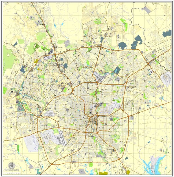
 Author: Kirill Shrayber, Ph.D. FRGS