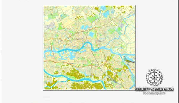
Rotterdam, located in the southwestern part of the Netherlands, has a rich history of urban development that has been shaped by various factors, including economic activities, trade, war, and innovative urban planning. Here is a brief overview of the history of urban development in Rotterdam:
- Early Years and Maritime Heritage:
- Rotterdam’s origins date back to the 13th century when a dam was constructed on the Rotte River, giving the city its name.
- The city’s strategic location near the North Sea contributed to its growth as a major port and trading hub during the Middle Ages.
- Destruction in World War II:
- Rotterdam faced significant destruction during World War II. In May 1940, the city was heavily bombed by the German Luftwaffe, leading to widespread devastation.
- The post-war period marked a crucial juncture for Rotterdam as it presented an opportunity for the city to rebuild and redefine itself.
- Post-War Reconstruction and Modern Architecture:
- The reconstruction of Rotterdam was guided by modernist principles, leading to the adoption of innovative and contemporary architectural styles.
- Architects like Oud, Van den Broek, and Bakema played a crucial role in designing the city’s new skyline. The concept of urban renewal and modern architecture characterized the rebuilding process.
- The Port of Rotterdam:
- Rotterdam’s port has been a driving force behind its urban development. It is one of the largest and busiest ports in the world, contributing significantly to the city’s economic prosperity.
- Continuous expansion and modernization of the port facilities have been pivotal in shaping Rotterdam’s identity as a global maritime and logistics center.
- Contemporary Urban Planning:
- Rotterdam has continued to evolve in recent decades with a focus on sustainable development and modern urban planning.
- Notable projects include the development of the Kop van Zuid district, the Erasmus Bridge (Erasmusbrug), and the Markthal, showcasing a blend of modern architecture and functional urban spaces.
- Cultural Renaissance:
- Rotterdam has witnessed a cultural renaissance with the establishment of museums, theaters, and cultural institutions. The city’s commitment to the arts has contributed to its vibrant and dynamic atmosphere.
- Sustainability Initiatives:
- Rotterdam has been at the forefront of sustainable urban development. Initiatives include green urban spaces, energy-efficient buildings, and a commitment to environmentally friendly practices.
- Diverse Neighborhoods:
- Rotterdam is known for its diverse neighborhoods, each with its own character and charm. From historic districts to contemporary waterfront developments, the city offers a mix of architectural styles and urban landscapes.
In summary, Rotterdam’s history of urban development reflects a resilient city that has transformed itself from the ashes of war into a modern, dynamic, and sustainable metropolis with a strong emphasis on its maritime and trading heritage.

 Author: Kirill Shrayber, Ph.D. FRGS