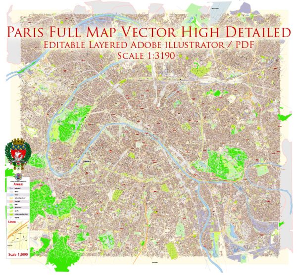
The history of urban development in Paris, France, is a fascinating journey that spans centuries and reflects the city’s cultural, social, and political evolution. Here is a concise overview of key periods and developments:
- Roman Era (1st century BC – 5th century AD):
- Paris, known as Lutetia, was established as a Roman settlement on the Île de la Cité.
- The city prospered as a trading center and developed a network of streets and public buildings.
- Medieval Paris (5th century – 15th century):
- The medieval period saw the expansion of Paris beyond the Île de la Cité to the Left Bank.
- The Notre-Dame Cathedral was constructed on the Île de la Cité during this time.
- Paris became a major cultural and intellectual center in Europe.
- Renaissance and Early Modern Period (16th – 18th centuries):
- Renaissance influences led to the construction of grand palaces, such as the Louvre.
- The city underwent significant urban planning, with wider streets and the creation of public squares.
- The construction of the Pont Neuf, the first stone bridge across the Seine, began in the late 16th century.
- Haussmannian Transformation (19th century):
- Under the direction of Georges-Eugène Haussmann in the mid-19th century, Paris underwent a radical transformation.
- Narrow medieval streets were replaced with wide boulevards, improving traffic flow and public hygiene.
- New parks, squares, and public buildings, such as the Opéra Garnier, were created.
- This period is characterized by the distinctive Haussmannian architecture that still defines much of central Paris.
- Belle Époque and Interwar Period (late 19th century – early 20th century):
- Paris continued to flourish culturally and economically.
- The Eiffel Tower was built for the 1889 Exposition Universelle, becoming an iconic symbol of the city.
- Art Nouveau and Art Deco styles influenced architecture and design.
- Post-World War II Reconstruction (mid-20th century):
- Paris faced challenges during World War II, with significant damage to infrastructure.
- The post-war period saw efforts to rebuild and modernize the city.
- High-rise buildings, such as the Tour Montparnasse, emerged in the later decades.
- Contemporary Paris (late 20th century – present):
- Preservation efforts intensified, and historic districts were protected.
- Contemporary architecture, like the Louvre Pyramid (1989) and the Musée du Quai Branly (2006), brought modern elements to the cityscape.
- Sustainable development and pedestrian-friendly initiatives have gained importance in recent urban planning.
Throughout its history, Paris has evolved into a global city known for its rich cultural heritage, iconic landmarks, and a balance between preserving its historical character and embracing modernity.


 Author: Kirill Shrayber, Ph.D. FRGS