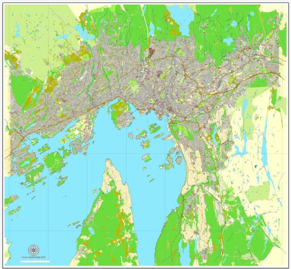
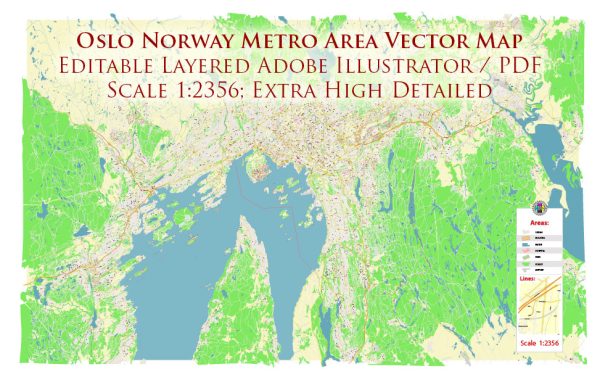
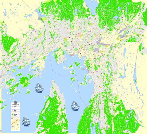
Oslo, the capital and largest city of Norway, has a rich history of urban development that spans over a thousand years. Here is a brief overview of the key historical periods in the urban development of Oslo:
- Medieval Oslo (1000-1624): The origins of Oslo can be traced back to the Viking Age when it was known as “Ánslo” or “Áslo.” The city was founded in the early 11th century and became the capital of Norway in 1299. During the Middle Ages, Oslo developed as a significant trade center, with the Akershus Fortress constructed in the 13th century to protect the city.
- Fires and Rebuilding (1624-19th century): In 1624, a devastating fire destroyed much of the city. As a result, King Christian IV decided to rebuild it, renaming it Christiania (later spelled Kristiania). The city was redesigned with a grid plan, and important buildings like the Royal Palace were constructed during this period. In 1925, the city reclaimed its original name, Oslo.
- 19th Century Industrialization: The 19th century saw Oslo expanding due to industrialization. The development of the railway and port facilities played a crucial role in connecting the city to the rest of the country and facilitating trade.
- 20th Century Modernization: The 20th century brought further urbanization and modernization to Oslo. The city expanded its infrastructure, with the construction of new neighborhoods, roads, and bridges. The development of suburbs increased as the population grew. The expansion of public transportation, including the Oslo Metro system, contributed to the city’s accessibility.
- Post-World War II Reconstruction: Oslo, like many European cities, faced challenges during and after World War II. The city suffered damage during the German occupation, and post-war reconstruction efforts focused on rebuilding damaged areas and addressing the housing shortage.
- Contemporary Urban Development (Late 20th Century-Present): In recent decades, Oslo has undergone significant transformations. The development of modern architectural landmarks, such as the Oslo Opera House and the Barcode Project, has reshaped the city’s skyline. There has been a growing emphasis on sustainability, with initiatives to promote green spaces, pedestrian-friendly areas, and environmentally friendly urban planning.
- Waterfront Redevelopment: Oslo’s waterfront has been a focal point for redevelopment. The Aker Brygge area, once an industrial site, was transformed into a vibrant waterfront district with shops, restaurants, and cultural venues.
- Cultural and Recreational Spaces: Oslo has also invested in cultural and recreational spaces. The establishment of museums, galleries, and parks, including the Vigeland Park with its iconic sculptures, contributes to the city’s cultural richness.
Overall, Oslo’s history of urban development reflects a combination of historical continuity, adaptation to modern challenges, and a commitment to sustainability and quality of life. The city continues to evolve, balancing its rich cultural heritage with the demands of a dynamic and contemporary urban environment.


 Author: Kirill Shrayber, Ph.D. FRGS