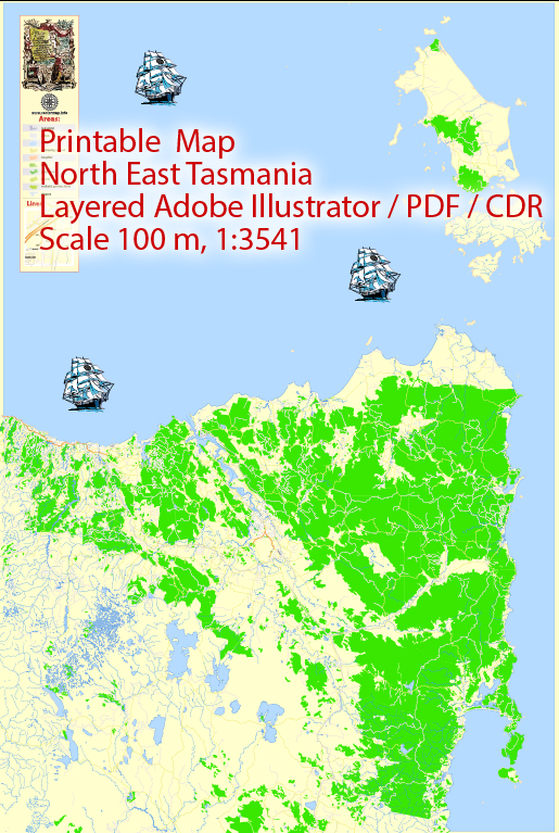
General overview of the history of urban development in North East Tasmania, Australia.
North East Tasmania is known for its picturesque landscapes, including rolling hills, fertile agricultural land, and proximity to the coast. Launceston, the largest city in the region, serves as a focal point for urban development. Here are some key points in the history of urban development in North East Tasmania:
- Indigenous Presence: Before European settlement, the area was inhabited by various Aboriginal groups. These communities had a deep connection with the land, utilizing its resources for sustenance.
- European Settlement: The European settlement of Tasmania began in the early 19th century. Launceston, established in 1806, played a significant role as a port and trading center. The town’s growth was initially driven by agriculture and the timber industry.
- Agriculture and Industry: The fertile soils of North East Tasmania supported the growth of agriculture, particularly in the production of crops like apples, berries, and various other fruits. The region also saw development in mining, timber, and fishing industries.
- Transportation Infrastructure: The expansion of transportation infrastructure, such as roads and railways, was crucial for urban development. Improved accessibility facilitated the movement of goods and people, contributing to the economic growth of the region.
- Cultural and Educational Institutions: As urban centers grew, cultural and educational institutions became more prominent. Launceston, in particular, saw the establishment of schools, libraries, and cultural venues.
- Modernization and Urban Planning: In the 20th century, urban planning became more pronounced. Efforts were made to modernize infrastructure, including utilities and public spaces. Zoning regulations and city planning initiatives aimed to shape the growth of urban areas.
- Tourism: With its natural beauty and historical sites, North East Tasmania has increasingly become a destination for tourists. The tourism industry has played a role in shaping the urban development, with a focus on preserving the region’s unique character.
- Environmental Considerations: In recent years, there has been a growing emphasis on sustainable development and environmental conservation. Efforts to balance economic growth with the preservation of the region’s natural resources and biodiversity have influenced urban planning decisions.


 Author: Kirill Shrayber, Ph.D. FRGS