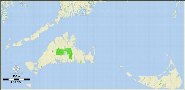
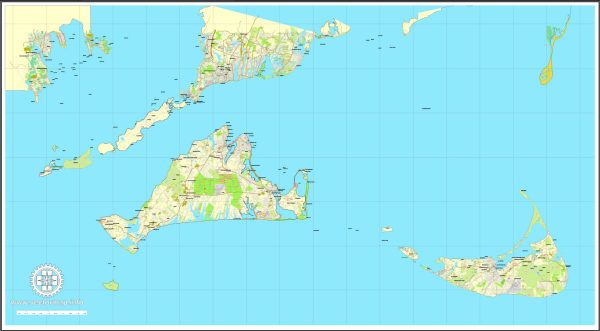
Nantucket and Martha’s Vineyard, both located in Massachusetts, have unique histories of urban development that are deeply intertwined with their maritime heritage and economic activities. While they are not typical urban centers in the traditional sense, their development has been influenced by factors such as whaling, trade, tourism, and the distinct island environment.
- Nantucket:
- Whaling Industry: Nantucket’s early development was heavily influenced by the whaling industry in the 18th and 19th centuries. The island became a major whaling hub, and wealth generated from this industry contributed to the construction of many elegant homes and buildings.
- Quaker Influence: Nantucket was settled by Quakers, and their values shaped the island’s development. Quakers promoted a strong sense of community and equality, influencing the island’s social structure and architecture.
- Decline of Whaling: The decline of the whaling industry in the mid-19th century had a significant impact on Nantucket’s economy. Many residents left in search of new opportunities, leading to a period of economic decline.
- Preservation Efforts: In the 20th century, efforts were made to preserve Nantucket’s historic character. Today, the island is known for its well-preserved architecture, cobblestone streets, and historic district.
- Martha’s Vineyard:
- Agriculture and Trade: Martha’s Vineyard’s early economy was based on agriculture and trade. The island’s fertile soil supported farming, while its location made it a center for maritime trade.
- Tourism Development: In the late 19th century, Martha’s Vineyard experienced a boom in tourism. The island’s scenic beauty and pleasant climate attracted wealthy visitors, leading to the development of resorts, hotels, and summer estates.
- Cultural Influence: Martha’s Vineyard has a rich cultural history, with communities like Oak Bluffs becoming known for their vibrant cultural scenes. The famous “gingerbread cottages” in Oak Bluffs are a unique example of Victorian architecture.
- Diversity: Martha’s Vineyard has been known for its racial and socioeconomic diversity. The island has been a retreat for African American families, including prominent figures like the Obamas, contributing to its unique social fabric.
- Modern Challenges: Like many coastal areas, both Nantucket and Martha’s Vineyard face challenges related to development, including issues such as affordable housing, infrastructure, and environmental conservation.
In summary, Nantucket and Martha’s Vineyard have histories shaped by their maritime economies, cultural influences, and responses to changing economic landscapes. While Nantucket reflects the legacy of the whaling industry and Quaker values, Martha’s Vineyard showcases a blend of agriculture, trade, and a modern reputation as a tourist destination with a diverse community. Both islands have worked to preserve their unique character and face contemporary challenges related to development.


 Author: Kirill Shrayber, Ph.D. FRGS