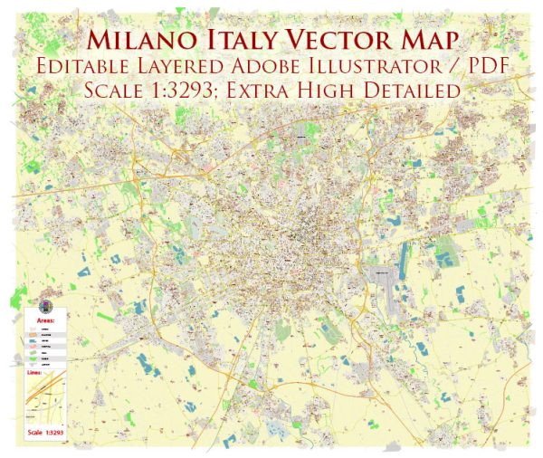
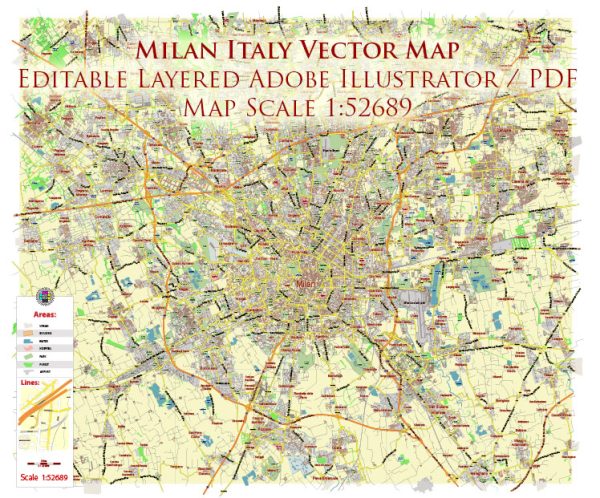
Milan, or Milano in Italian, has a rich history of urban development that spans over two millennia. The city’s strategic location in the Po River Valley in northern Italy has contributed to its growth and significance throughout the centuries. Here’s a brief overview of the history of urban development in Milan:
- Ancient Roman Period (c. 222 BCE – 5th century CE):
- Milan was founded by the Celts in the 4th century BCE, but it gained prominence during Roman times.
- Under Roman rule, Milan became a regional capital and a hub for trade and commerce.
- The city’s road network, including the construction of the Via Aemilia, facilitated communication and transportation.
- Medieval Period (5th – 15th century):
- Milan faced several invasions during the fall of the Roman Empire, including attacks by Visigoths and Huns.
- In the medieval period, Milan became a center of craftsmanship and trade, particularly in textiles and metalworking.
- The construction of the Cathedral of Milan (Duomo di Milano) began in the late 14th century and continued for centuries, becoming a symbol of the city.
- Renaissance and Spanish Rule (15th – 18th century):
- Milan became part of the Duchy of Milan, ruled by the powerful Visconti and Sforza families during the Renaissance.
- The Castello Sforzesco, a fortress and residence for the ruling families, played a significant role in the city’s architecture during this period.
- In the 16th century, Milan came under Spanish control, leading to further urban development, including the construction of city walls.
- Austrian and Napoleonic Rule (18th – 19th century):
- Milan experienced changes in rulership during the 18th century, first under Austrian control and later as part of Napoleon’s Italian Kingdom.
- Napoleon’s rule brought about urban planning initiatives, including the establishment of the Simplon Gate and the Brera district.
- Italian Unification and Industrialization (19th century):
- Milan played a pivotal role in the Italian unification (1861), becoming part of the Kingdom of Italy.
- The city experienced significant industrialization, with the growth of textile mills, factories, and the establishment of the first railway line connecting Milan to Monza in 1840.
- 20th Century and Contemporary Period:
- Milan continued to grow as an industrial and economic hub in the 20th century, attracting immigrants and becoming a center for fashion and design.
- During World War II, the city suffered bombings that caused damage to historical sites.
- Post-war reconstruction and economic development transformed Milan into a modern metropolis, with the construction of skyscrapers and contemporary infrastructure.
- Contemporary Urban Development:
- In recent decades, Milan has undergone further urban redevelopment, including projects like Porta Nuova, a modern business district.
- The city has focused on sustainability and innovation, hosting events such as the Milan Expo in 2015, which showcased urban and technological solutions.
Today, Milan stands as a dynamic and cosmopolitan city, blending its rich historical heritage with modern urban planning and development. The city continues to be a global center for fashion, finance, and design.

 Author: Kirill Shrayber, Ph.D. FRGS