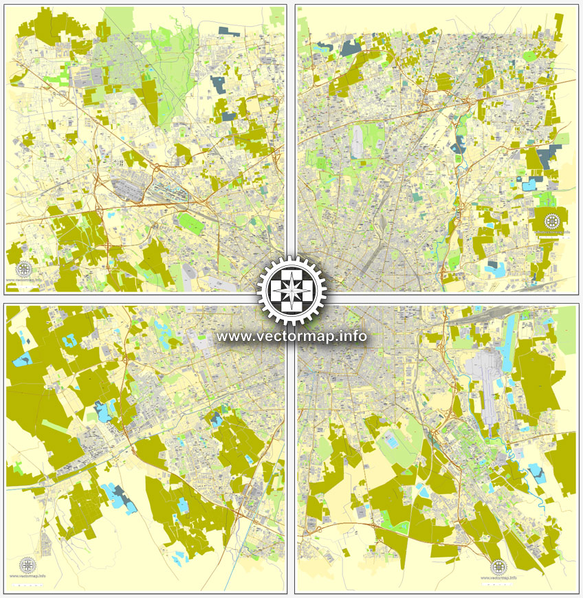
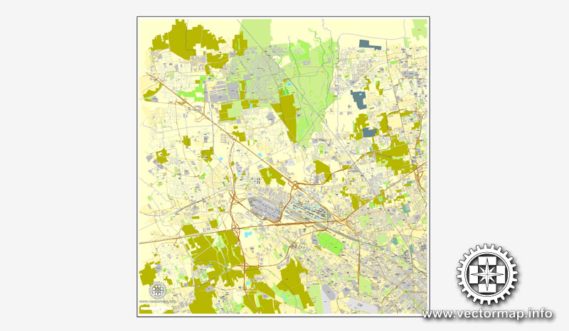
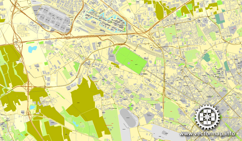
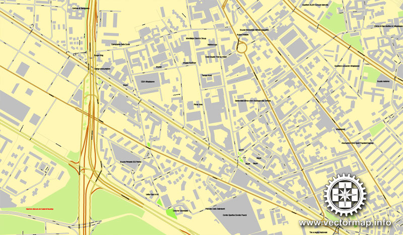
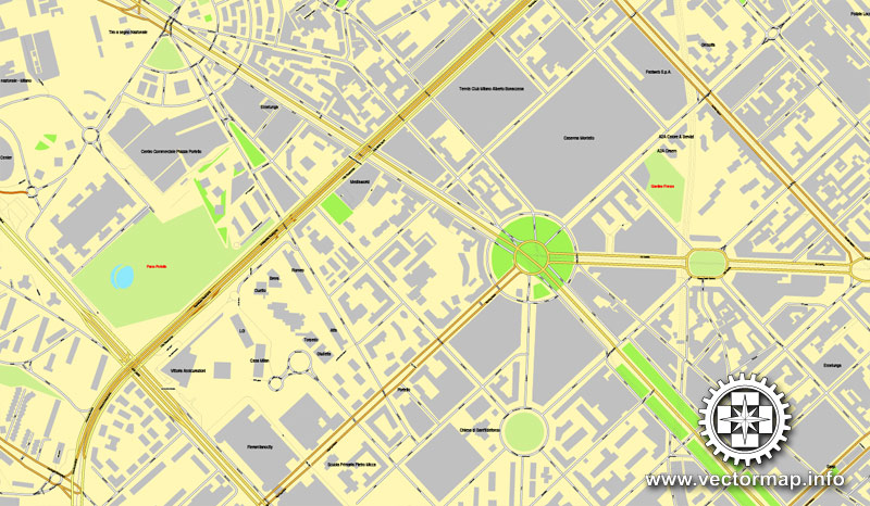
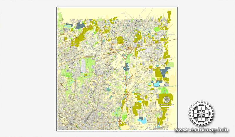
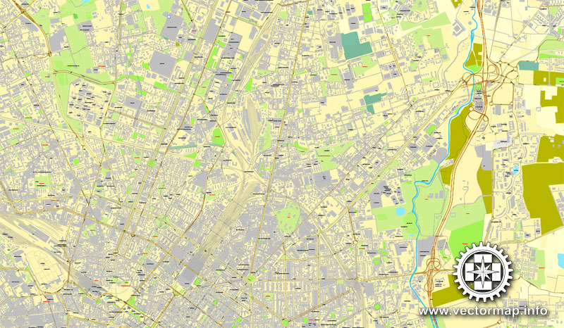
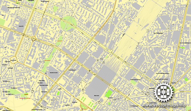
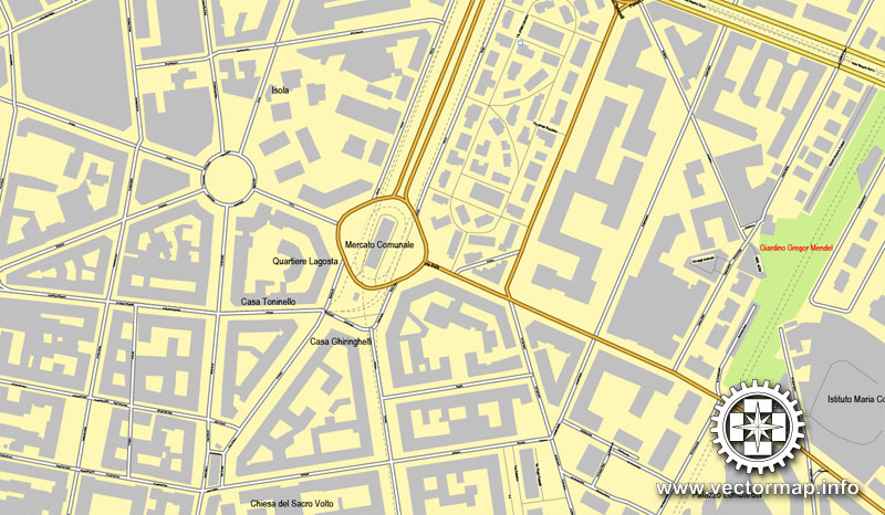
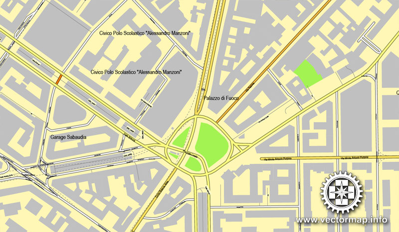
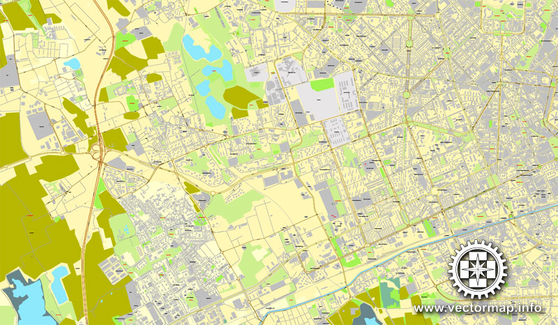
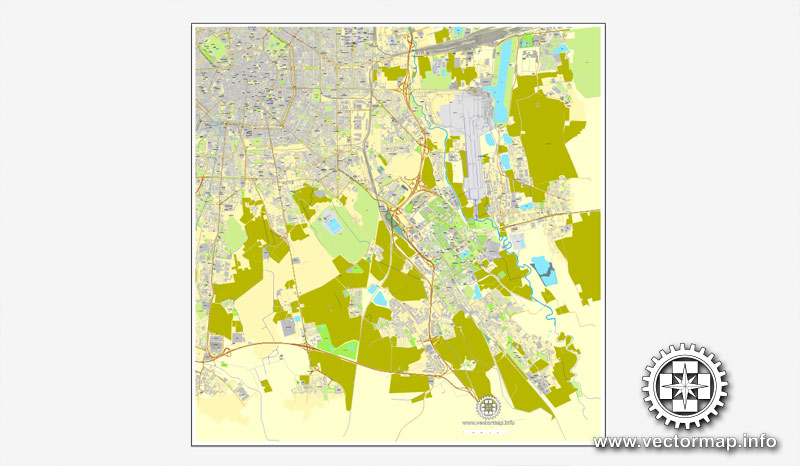
Printable Map Milan / Milano, Italy, exact vector street 100 meters scale map fully editable, Adobe Illustrator, full vector, scalable, editable text format of street names, 19 Mb ZIP.
All streets named, main objects, no buildings. Map for publishing, design, printing, publications, arts, projects, presentations, for architects, designers and builders, business, logistics. The most exact and detailed map of the city.
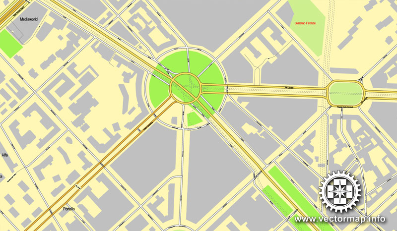
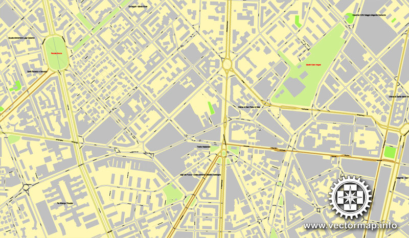
For printing LARGE (WALL) format
Separated layers: streets and roads, color fills, road labels, names 1,2,3, street arrows, objects, scales.
DWG, DXF, CDR, ESRI Shapes, and other formats – by request, same price, please contact.
Stampabile Mappa Milano, Italia, esatto vettore via 100 metri in scala mappa, completamente modificabili, Adobe Illustrator, vettore completo, scalabile, formato di testo modificabile dei nomi delle strade, 19 MB zip.
Tutte le strade di nome, gli oggetti principali, senza edifici. Mappa per la pubblicazione, la progettazione, la stampa, le pubblicazioni, le arti, i progetti, le presentazioni, per architetti, progettisti e costruttori, imprese, logistica. La mappa più precisa e dettagliata della città.
Per la stampa di grande formato (muro)
Strati separati: vie e le strade, riempimenti di colore, etichette stradali, nomi 1,2,3, frecce di strada, gli oggetti, le scale.
Milan, Italia.
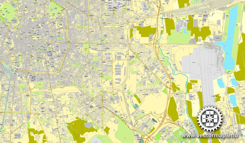
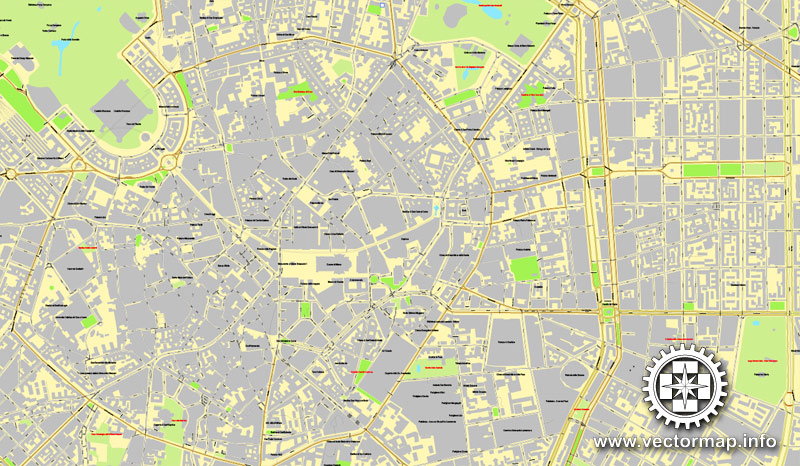
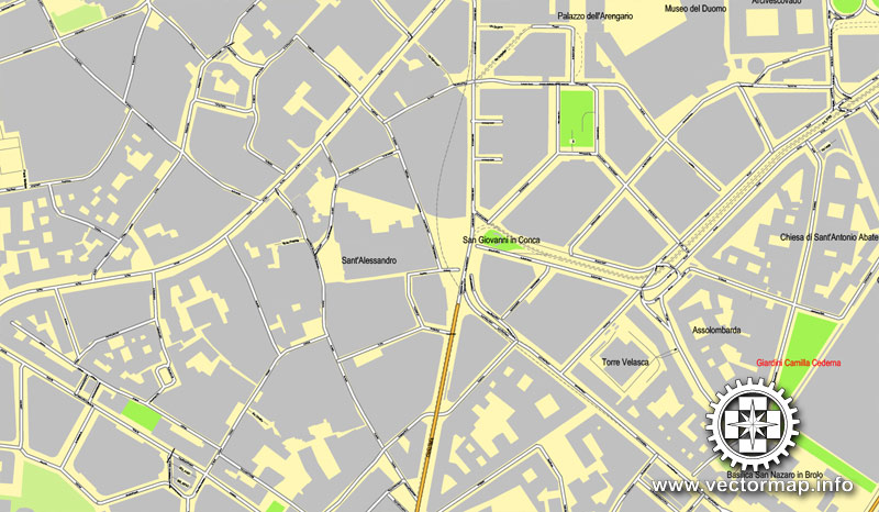
This vector map of Milan is used as a basis for design, editing, and further printing.
This is the most detailed, exact map of Milan for high-quality printing and polygraphy. You can always clarify the map development date by contacting us.
For your convenience, all objects on Milan vector map are divided into layers. And the editing is very easy – colors, lines, etc.
You can easily add any objects needed (e.g. shops, salons, sale points, gas station or attraction) on any layer of Milan vector map.
Milan is a city in northern Italy, capital of Lombardy, and the second-most populous city in Italy after Rome, with the city proper having a population of 1,372,810 while its metropolitan area has a population of 3,242,820. Its continuously built-up urban area (that stretches beyond the boundaries of the Metropolitan City of Milan) has a population estimated to be about 5,270,000 over 1,891 square kilometres (730 square miles). The wider Milan metropolitan area, known as Greater Milan, is a polycentric metropolitan region that extends over central Lombardy and eastern Piedmont and which counts an estimated total population of 7.5 million, making it by far the largest metropolitan area in Italy and the 54th largest in the world. Milan served as capital of the Western Roman Empire from 286 to 402 and the Duchy of Milan during the medieval period and early modern age.
One of the advantages of Milan vector maps of our production is the relevance of cartographic data, we constantly update all our products.
This vector map of Milan is used by:
designers, layout designers, printers, advertisers and architects. Our product – vector maps – is designed for further editing and printing in large formats – from @Wall format (a few meters) to A-0 and A-1, A-2, A-3.
Milan map in vector format is used for design, urban planning, presentations and media visualizations.
Advertising and presentation map of Milan (usually the final designer marks the routes, and puts the client’s objects (shops, saloons, gas stations etc.)
The undoubted advantage is that people will NEVER throw out this advertising product – the map. In fact, as an advertising medium, a map is the most “long-playing” of the well-known polygraphic advertising media, with the longest lifespan, and the maximum number of interactions with the customer.
For travelers, maps are sold at the airports and gas stations around the world. Often the source is our vector maps.
Take a look, who purchases our vector maps of Milan in “Our Clients and Friends” page – these are large and small companies, from super-brands like Volvo and Starbucks, to small design studios and printing houses.
It’s very easy to work with vector maps of Milan, even for a not very experienced designer who can turn on and off the map layers, add new objects, change the colors of fill and lines according to customer requirements.
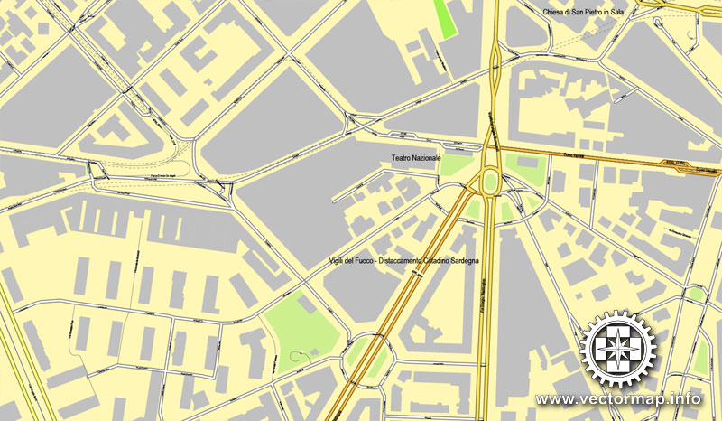
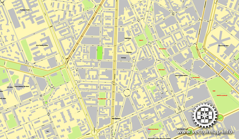
The undoubted advantage of Milan vector maps in printing is an excellent and detailed visualization, when customer can expand a large paper map and instantly define his location, find a landmark, an object or address on map, unlike using the popular electronic formats of Google and Yandex maps for example.
Printable vector maps of Milan are much more convenient and efficient than any electronic maps on your smartphone, because ALL DETAILS are displayed in the entire space of Milan map.
Useful tips on working with vector maps of cities and countries in Adobe Illustrator.
«V» – launches the Selection tool (cursor, black arrow), which makes active any vector line.
«А» – launches the Direct Selection tool (white cursor), allows you to select curve elements and drag them to the desired place.
«R» – activates the Rotate tool, which helps you rotating selected objects around the center point by 360 degrees.
«E» – gives you the opportunity to use the Eraser tool and erase unnecessary parts.
«X» – switches between Fill and Stroke in the Tools section. Try to get used to this hot key and
you will quickly understand that you can’t live and work without it.
Guides are not limited to vertical and horizontal in Adobe Illustrator. You can also create a diagonal guide for example. Moreover, you can turn any contours into guides. Select the outline and go to View > Guides > Make Guides (Create Guides), or simply press Cmd/Ctrl + 5. You can also turn the guides back into an editable object. Go to menu, View > Guides > Unlock Guides (Release Guides), select the guide you want to edit and select View > Guides > Release Guides (Reset Guides), or just press Cmd/Ctrl + Option / Alt + 5).
You will probably want to change the color scheme used on our Milan vector map.
To quickly and effectively play with colors.
Of course, you can do it manually, all objects in our Milan vector map are divided according to types and layers, and you can easily change the color gamma of vector objects in groups and layers.
But there is more effective way of working with the whole VECTOR MAP of Milan and all layers:
The overview dialog «Edit colors»/«Repaint Graphic Object» (this dialog box name can change depending on the context):
If you have selected a part or a layer of Milan vector map and open the dialog box by clicking the icon in the Control panel, on the Samples palette or the Color Catalog, or if you choose Edit > Edit Colors> Repaint Graphic Object, then the «Repaint Graphic Object» dialog box appears, and you get access to «Assign» and «Edit» tabs.
If a picture or a map fragment is not selected, and you open the dialog box by clicking the icon in the Control panel, on the Samples palette or in the Color Catalog, the «Edit Colors» dialog box appears and you can only access the «Edit» tab.
Regardless of the name at the top of the dialog box, the right-hand side always displays the color group of the current document, as well as two default color groups: Print Color and Grayscale. These color groups can be selected and used any time.
Create and edit color groups of Milan vector map, and also assign colors using the «Edit Colors»/ а «Repaint Graphic Object» dialog box.
A. Creating and editing of a color group on the «Edit» tab
B. Assigning colors on the «Assign» tab
C. Select a group of colors from the «Color groups» list
The option «Repaint a graphic object» in the lower part of the dialog box allows you to preview the colors on a selected layer of Vector map, or a group of elements, and specify whether its colors will be redefined when the dialog box is closed.
The main areas of the dialog box are:
«Edit»
The «Edit» tab is designed to create a new or edit the existing color groups.
The harmony rules Menu and the Color Wheel are used to conduct experiments with color harmonies. The color wheel shows how colors are related in color harmony, and the color bars allow you to view and manipulate an individual color values. In addition, you can adjust the brightness, add and remove colors, save color groups and view colors on the selected Vector Map of Milan or a separated layers.
«Assign»
The «Assign» tab is used to view and control on how the original colors are replaced with colors from the color group like your corporate colors in the Vector Map of Milan.
The assign color ability is provided only if the entire map, layer or fragment is selected in the document. You can specify which of new colors replace the current colors, whether the spot colors should be preserved and how colors are replaced (for example, you can replace colors completely or changing the color tone while maintaining the brightness). The «Assign» tab allows you to redefine colors in the Vector Map of Milan, or in separate layers and fragments using the current color group or reducing the number of colors in the current Vector Map.
Color groups
Is a list of all saved color groups for current document (the same groups appear in the «Samples» palette). You can edit and delete the existing color groups, as well as creating a new ones using the list of “Color Groups” in the dialog box. All changes appear in the «Samples» palette.
The highlighted color group shows, which color group is currently edited.
Any color group can be selected and edited, or used to redefine the colors in the selected vector map of Milan, its fragments or elements.
Saving a color group adds this group to the specified list.
Opening the «Edit Colors»/«Repaint Graphic Object» dialog box.
Open the «Edit Colors»/«Repaint Graphic Object» dialog box using one of the following methods:
«Edit»> «Edit Colors»> «Repaint Graphic object» or «Repaint With Style».
Use these commands if you need to edit the colors in the selected vector map of Milan.
«Repaint Graphic object» button on the «Control» panel.
Use this button if you need to adjust colors of Milan vector map using the а «Repaint graphic object» dialog box.
The specified button is available if the selected vector map or its fragment contains two or more colors.
Note. This color editing method is convenient for global color adjustment in a vector map, if global colors were not used when creating a Map of Milan.
The «Edit colors» button or «Edit or apply colors» on the «Color Catalog» palette
Click this button if you need to edit colors on the «Color Catalog» palette or edit and then apply them to the selected Vector Map of Milan or its fragment.
The «Edit color group» button or «Edit or apply color group» on the «Samples» palette.
Click this button if you need to edit the colors in the specific color group or edit and apply them to the selected Vector Map of Milan or a group of its elements, for example, the whole layer “Streets and lines”. You can also double-click the color group in the Samples panel to open the dialog box.
If the map file is too large and your computer freezes or even can’t open it quickly:
1. Try to reduce the color resolution of the video card (display) to 256 colors while working with a large map.
2. Using Windows Task Manager, select all the application you don’t need, while working with map, just turn them off.
3. Launch Adobe Illustrator. (DO NOT OPEN the vector map file)
4. Start the Windows Task Manager using administrator rights > Find the “Illustrator” process > set the «real time» priority,
5. Open the file. When you see the LEGACY FONT popup window – click “OK” (do not update). You can restore the TEXT later.
6. Can also be useful: When file is opened – Edit > Settings > Basic Settings > disable smoothing. /// It looks scary, but works quickly)))
We recommend saving the file in Adobe Illustrator 10 version. It’s much more stable when working with VERY BIG size files.
Milan is considered a leading alpha global city, with strengths in the field of the art, commerce, design, education, entertainment, fashion, finance, healthcare, media, services, research and tourism. Its business district hosts Italy’s stock exchange and the headquarters of national and international banks and companies. In terms of GDP, it has the third-largest economy among European cities after Paris and London, but the fastest in growth among the three, and is the wealthiest among European non-capital cities. Milan is considered part of the Blue Banana and one of the “Four Motors for Europe”.
The city has been recognized as the world’s fashion and the design capital thanks to several international events and fairs, including Milan Fashion Week and the Milan Furniture Fair, which are currently among the world’s biggest in terms of revenue, visitors and growth. It hosted the Universal Exposition in 1906 and 2015. The city hosts numerous cultural institutions, academies and universities, with 11% of the national total enrolled students. Milan is the destination of 8 million overseas visitors every year, attracted by its museums and art galleries that boast some of the most important collections in the world, including major works by Leonardo da Vinci. The city is served by a large number of luxury hotels and is the fifth-most starred in the world by Michelin Guide. The city is home to two of Europe’s most successful football teams, A.C. Milan and F.C. Internazionale, and one of Italy’s main basketball teams, Olimpia Milano.
Topography
Milan is located in the north-western section of the Po Valley, approximately halfway between the river Po to the south and the foothills of the Alps with the great lakes (Lake Como, Lake Maggiore, Lake Lugano) to the north, the Ticino river to the west and the Adda to the east. The city’s land is flat, the highest point being at 122 m (400.26 ft) above sea level.
The administrative commune covers an area of about 181 square kilometres (70 sq mi), with a population, in 2013, of 1,324,16
9 and a population density of 7,315 inhabitants per square kilometre (18,950/sq mi). The Metropolitan City of Milan covers 1,575 square kilometres (608 sq mi) and in 2015 had a population estimated at 3,196,825, with a resulting density of 2,029 inhabitants per square kilometre (5,260/sq mi). A larger urban area, comprising parts of the provinces of Milan, Monza e Brianza, Como, Lecco and Varese is 1,891 square kilometres (730 sq mi) wide and has a population of 5,270,000 with a density of 2,783 inhabitants per square kilometre (7,210/sq mi).
The concentric layout of the city centre reflects the Navigli, an ancient system of navigable and interconnected canals, now mostly covered. The suburbs of the city have expanded mainly to the north, swallowing up many communes to reach Varese, Como, Lecco and Bergamo.
There are two main areas which dominate Milan’s skyline: the Porta Nuova area in the north-east (boroughs n° 9 and 2) and the CityLife area (borough n° 8). The tallest buildings include the Unicredit Tower at 231 m (though only 162 m without the tower), and the 209 m Allianz Tower, which has 50 floors.


Milan
City in Italy
Milan, a metropolis in Italy’s northern Lombardy region, is a global capital of fashion and design. Home to the national stock exchange, it’s a financial hub also known for its high-end restaurants and shops. The Gothic Duomo di Milano cathedral and the Santa Maria delle Grazie convent, housing Leonardo da Vinci’s mural “The Last Supper,” testify to centuries of art and culture.
Area:
• Total 181.76 km2 (70.18 sq mi)
Elevation:
• 120 m (390 ft)
Population:
• Total 1,359,905
Free vector maps:
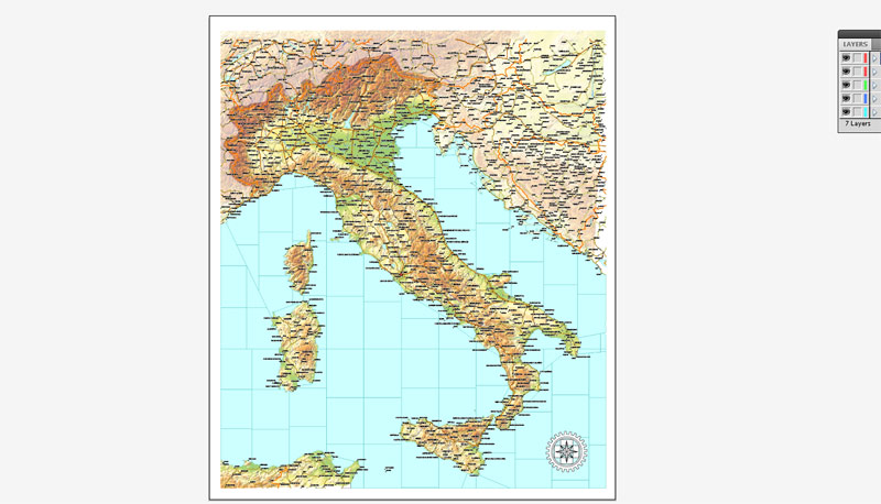
Free Download now simple_free_vector_map_italy-Adobe Illustrator
Free Download now simple_free_vector_map_italy-Adobe PDF 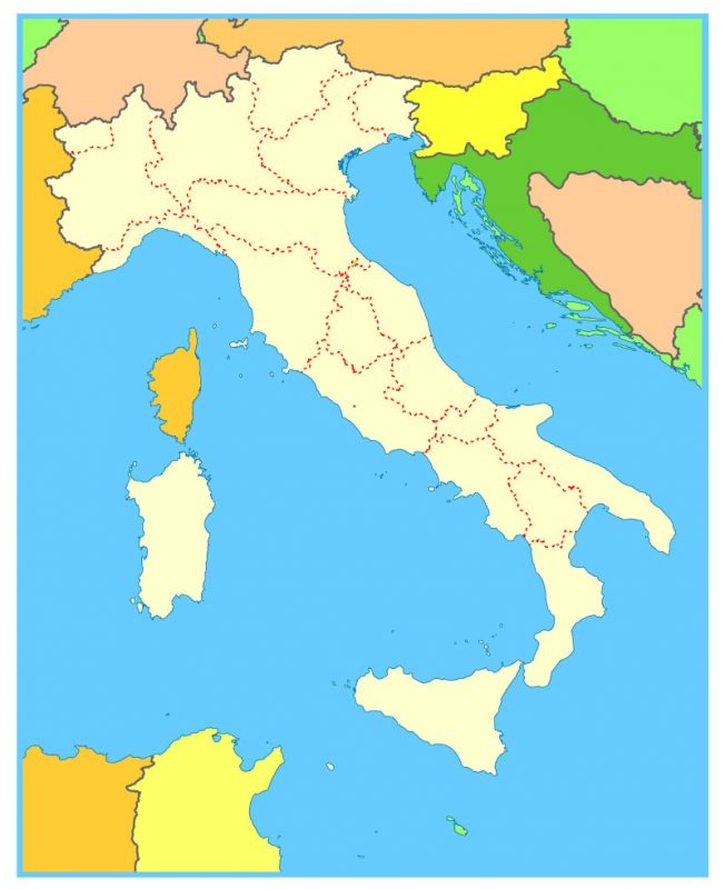
Free download simple vector map Europe:

Free download printable map Europe vector Adobe Illustrator >>>
Free download printable PDF map Europe vector Adobe PDF >>>
See also: Full vetor map Italy


 Author: Kirill Shrayber, Ph.D. FRGS

 Street Map editable Adobe Illustrator in layers")