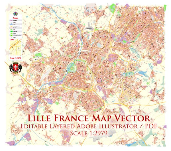
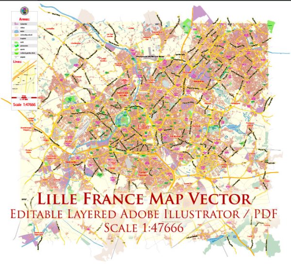
Lille, a city in northern France, has a rich history of urban development that spans several centuries. Here is a brief overview of the key periods in the city’s urban development:
- Medieval Period (10th–15th centuries): Lille’s origins can be traced back to the medieval period when it was a small market town on the banks of the Deûle River. The city began to grow as a center for trade and commerce, and its strategic location made it an important crossroads for merchants traveling between northern Europe and the rest of France.
- Spanish Netherlands Period (16th–17th centuries): Lille came under Spanish rule in the 16th century as part of the Spanish Netherlands. During this period, the city experienced significant growth and development. The construction of the Citadel of Lille, a fortress designed by the military architect Vauban, began in the late 17th century and played a crucial role in the city’s defense.
- French Influence (17th–18th centuries): Lille became a French city in 1667, following the Treaty of Aix-la-Chapelle. Under French rule, the city continued to thrive economically. The influence of French architecture can be seen in the development of grand squares, such as the Grand Place, and the expansion of the city’s fortifications.
- Industrial Revolution (19th century): The 19th century brought industrialization to Lille, transforming it into a major industrial and manufacturing center. The textile industry, in particular, flourished, and the city’s population grew rapidly. This led to the construction of workers’ housing and the expansion of industrial facilities.
- 20th Century: Lille faced significant challenges during World War I and World War II, with the city suffering damage during both conflicts. In the post-war period, there was a need for reconstruction and urban renewal. The city saw modernization and the development of infrastructure to accommodate the changing needs of its residents.
- Contemporary Era: In recent decades, Lille has undergone urban revitalization and modernization. The city has invested in cultural institutions, transportation networks, and public spaces. Lille’s designation as the European Capital of Culture in 2004 further contributed to its cultural development, attracting attention and visitors from across Europe.
- Transportation Hub: Lille’s strategic location has made it a major transportation hub. The development of the Lille-Europe railway station and its connection to the high-speed rail network has enhanced the city’s accessibility and reinforced its position as a crossroads for European travel.
Overall, Lille’s history of urban development reflects its evolution from a medieval market town to a thriving industrial center and, ultimately, to a modern and dynamic European city. The blend of historical architecture and contemporary infrastructure contributes to the city’s unique character and appeal.

 Author: Kirill Shrayber, Ph.D. FRGS