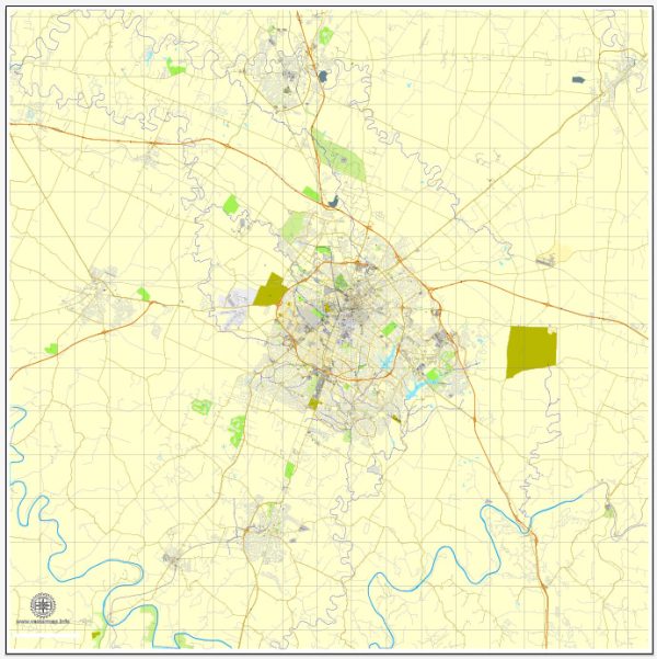
Lexington, Kentucky, has a rich history of urban development that dates back to its founding in 1775. As one of the oldest cities in the United States west of the Appalachian Mountains, Lexington has played a significant role in the development of the region. Here is an overview of the city’s urban development history:
- Early Settlement and Founding:
- Lexington was established in 1775 by a group of frontiersmen led by William McConnell. It was originally named Fort Lexington in honor of the Battles of Lexington and Concord in the American Revolutionary War.
- The town quickly became a center for trade and commerce due to its strategic location and fertile land.
- 19th Century Growth:
- In the early 19th century, Lexington continued to grow as a center for agriculture, horse breeding, and hemp production.
- The city’s economic prosperity led to the development of elegant mansions, many of which still stand in neighborhoods like Gratz Park.
- Civil War Impact:
- During the Civil War, Kentucky was a border state, and Lexington was occupied by both Union and Confederate forces at different times.
- The war had a significant impact on the city’s economy and development.
- Post-Civil War Era and Industrialization:
- After the Civil War, Lexington saw a period of reconstruction and industrialization.
- The expansion of railroads in the late 19th century further contributed to the city’s economic development.
- 20th Century Changes:
- The 20th century brought further changes to Lexington’s urban landscape. The city continued to grow, and suburban development became more prominent.
- The University of Kentucky, founded in 1865, has played a crucial role in the city’s growth and development.
- Urban Renewal and Revitalization:
- Like many American cities, Lexington experienced urban renewal efforts in the mid-20th century. Some historic structures were lost during this period, but there was also a growing appreciation for historic preservation.
- The establishment of the Lexington-Fayette Urban County Government in 1974 aimed to streamline city-county services and planning.
- Modern Challenges and Developments:
- In recent decades, Lexington has faced challenges related to urban sprawl, traffic congestion, and preserving its historic character.
- Efforts have been made to promote sustainable development, improve public transportation, and revitalize downtown areas.
- Cultural and Economic Development:
- Lexington has a vibrant cultural scene, with a thriving arts community, music, and annual events such as the Kentucky Horse Park and the Keeneland Race Course.
- The city’s economy has diversified, with healthcare, education, and technology sectors playing an increasingly important role.
- Preservation and Heritage:
- Preservation organizations and community efforts have worked to protect and restore historic structures, ensuring that the city retains its unique architectural heritage.
Overall, Lexington, Kentucky, has evolved from a frontier outpost into a dynamic urban center with a blend of historic charm and modern development. The city’s history is reflected in its diverse neighborhoods, historic sites, and ongoing efforts to balance growth with preservation.


 Author: Kirill Shrayber, Ph.D. FRGS